


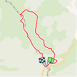

21 km | 36 km-effort


User


FREE GPS app for hiking
 SityTrail
IGN / Geographical institutes
SityTrail World
The world is yours!
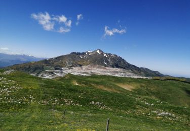
Trail Walking of 7.9 km to be discovered at Occitania, Ariège, Prades. This trail is proposed by j2c11.
Boucle avec montée au rocher de Scaramus, sans difficulté particulière.
Walking
Walking

Walking
Walking

Snowshoes
Mountain bike
Walking