


14.3 km | 16.5 km-effort

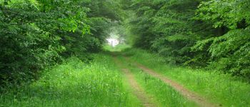
mes randos en forêt


FREE GPS app for hiking
 SityTrail
IGN / Geographical institutes
SityTrail World
The world is yours!
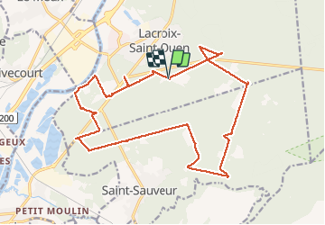
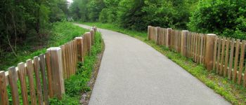
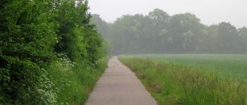
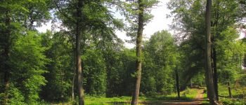
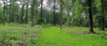
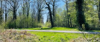
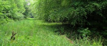
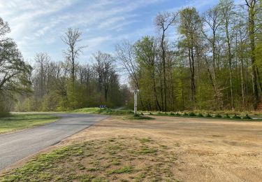
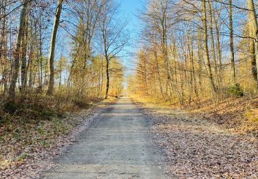
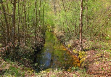
Trail Walking of 21 km to be discovered at Hauts-de-France, Oise, Lacroix-Saint-Ouen. This trail is proposed by en forêt de Compiègne.
voir aussi:
http://foret-de-compiegne.over-blog.com/
batterie de rechange pour iphone obligatoire.
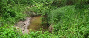
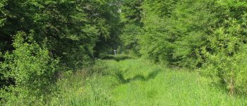
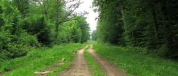
Pantalon long aussi (orties et ronces). Ornières, boue et eau sur les petits sentiers.
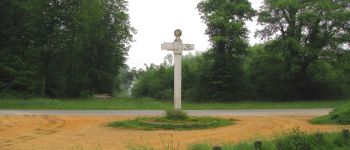
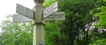
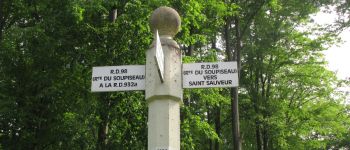
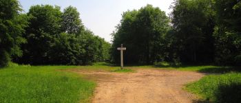
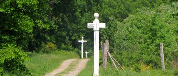
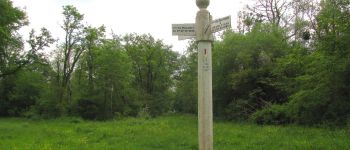
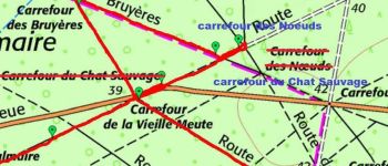
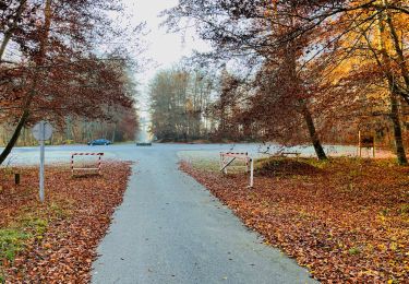
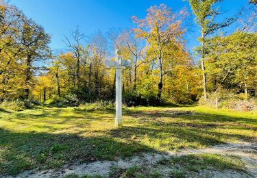
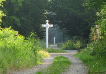
warning: carrefour des Noeuds
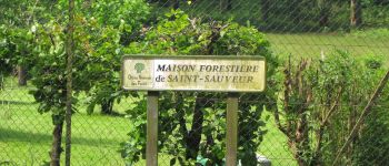
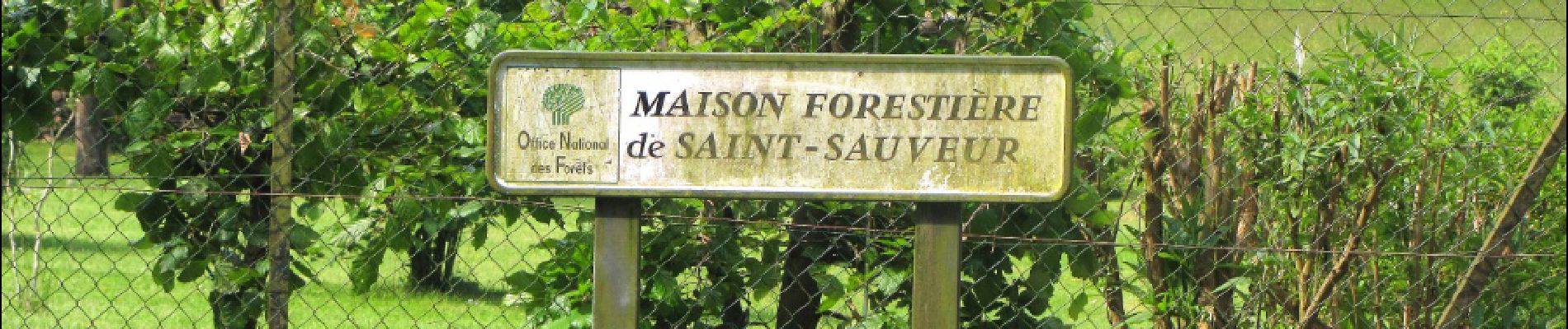
situé à l'intersection de la route Bertin et de la route du Pont de la Reine.
le carrefour des Noeuds mentionné sur les cartes IGN est inexact. Il s'agit en fait du carrefour du Chat Sauvage.
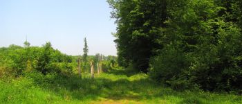
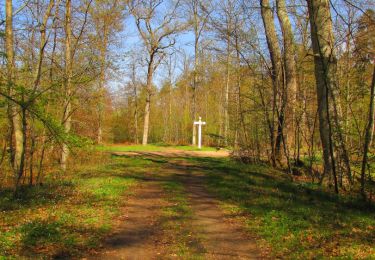
Au départ du carrefour d'Orbay, rejoindre le carrefour de la Croix par la route du Grand Octogone. Revenir par la route de la Croix, tourner à droite dans la route des Magnans (très difficile) puis tourner à droite dans la route de Saintines jusqu'au carrefour du Brocard. Revenir sur ses pas et tourner à droite dans la route des Magnans puis dans la route du Bac. La suivre jusqu'au parc de loisir. Tourner à gauche dans la Basse Queue, continuer sur ce chemin et tourner à gauche dans la route du Buisson et marcher jusqu'au carrefour Irrégulier. Prendre la route aux Chiens (difficile) et aller jusqu'au carrefour du Pont de la Reine (D932A). Revenir sur ses pas et continuer sur la route du Pont de la Reine (à peine visible dans les herbes, bien différent du carrefour du Puits du Roi). Suivre à gauche la route de la Prévôté et tourner à droite dans la route de la Volière. Continuer jusqu'au carrefour de la Verberie. Tourner à gauche dans la route Mabonnerie puis encore à gauche dans la route de la Queue de Renard (difficile). La suivre jusqu'au carrefour avec le chemin de Béthisy. Tourner à droite dans ce chemin et aller jusqu'au carrefour de la Fontaine Saint-Jean. Suivre la route de la Fontaine Saint-Jean jusqu'au carrefour des Romains. Remonter sur la route du Hazoy puis tourner à gauche dans la route des Molineaux jusqu'au carrefour du même nom (pas de poteau indicateur). Tourner à droite dans la route du Maupas puis à gauche dans la route du Hazoy. La suivre jusqu'au carrefour du Solitaire. Prendre à gauche la route de la Hideuse jusqu'au carrefour de la vieille Meute. Traverser la D85 et rejoindre le carrefour des Bruyères. Puis tourner à droite dans la Route de la Michellette. Rejoindre le carrefour des Noeuds (poteau indicateur) puis prendre à droite
la route du Pont de la Reine jusqu'au point de départ.


118 photos in total. Please click on a photo to see them all in the gallery.
Walking
Walking
Walking
Walking
Walking
Walking
Walking
Walking
Walking