


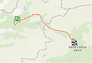

12.4 km | 26 km-effort


User


FREE GPS app for hiking
 SityTrail
IGN / Geographical institutes
SityTrail World
The world is yours!
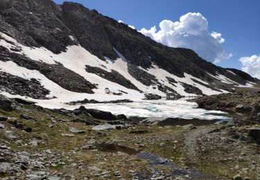
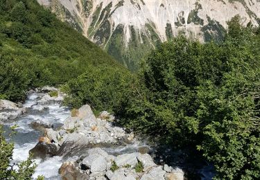
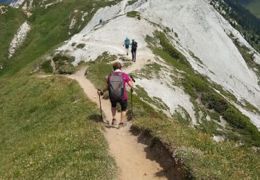
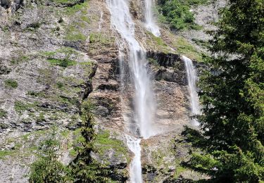
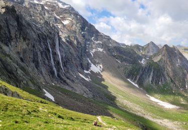
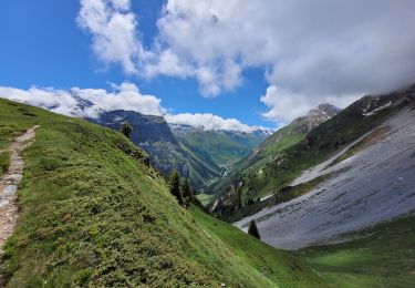
Trail Walking of 10.6 km to be discovered at Auvergne-Rhône-Alpes, Savoy, Pralognan-la-Vanoise. This trail is proposed by rafa77.
De l'arrivée du Télésiege du Genepi au refuge d'Entre Deux Eaux
Walking
Walking
Walking

Walking
Walking
Walking

Walking
Walking

Walking