


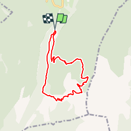


11.1 km | 17.4 km-effort


User


FREE GPS app for hiking
 SityTrail
IGN / Geographical institutes
SityTrail World
The world is yours!
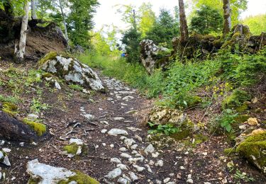
Trail Snowshoes of 7.1 km to be discovered at Auvergne-Rhône-Alpes, Isère, Saint-Christophe-sur-Guiers. This trail is proposed by 24nus.
Attention descente par le col de la ruchère déconseillée en hiver

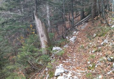
Snowshoes

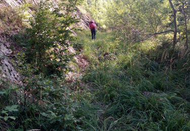
Walking

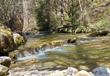
Walking

Walking

Walking
Walking
Walking
Walking
Walking