Trail Walking The Municipal District of Borris-in-Ossory — Mountmellick - Binninea Loop Cullahill - Photo
© OpenStreetMap contributors
Length
Length
10.2 km
Max alt
Max alt
269 m
Uphill gradient
Uphill gradient
245 m
Km-Effort
Km-Effort  
13.5 km
Min alt
Min alt
149 m
Downhill gradient
Downhill gradient
244 m
Boucle
Boucle
Yes
Creation date :
2014-12-10 00:00:00.0
Updated on :
2014-12-10 00:00:00.0

(0 Reviews)

Walking
Walking
--
Difficulty : Medium

Scan this QR Code to open this trail in the SityTrail application

FREE GPS app for hiking

Logo SityTrail SityTrail

IGN / Geographical institutes

Download SityTrail from the App Store Download SityTrail from Google Play

Logo SityTrail SityTrail World

The world is yours!

Download SityTrail from the App Store Download SityTrail from Google Play Download SityTrail on Huawei AppGallery

About

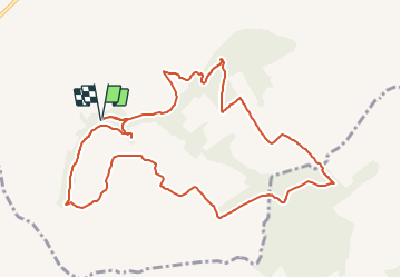
Trail Walking of 10.2 km to be discovered at Unknown, County Laois, The Municipal District of Borris-in-Ossory — Mountmellick. This trail is proposed by mlmoroneybb.

Description

Starting from the mapboard at the car park 2Km from village, follow the purple arrow downhill for 200m to reach a pathway on your right. Follow this pathway uphill for 500m to reach a stile and exit the woodland.

Elevation profile

Positioning

Country:
Ireland
Region :
Unknown
Department/Province :
County Laois
Municipality :
The Municipal District of Borris-in-Ossory — Mountmellick
Location:
Cullahill ED
Start:(UTM)
602962 ; 5851178 (29U) N.

Trails nearby


Close
My subscriptions