


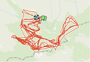

11.7 km | 24 km-effort


User


FREE GPS app for hiking
 SityTrail
IGN / Geographical institutes
SityTrail World
The world is yours!
Trail Winter sports of 46 km to be discovered at Occitania, Hautespyrenees, Sarrancolin. This trail is proposed by ehresmann.
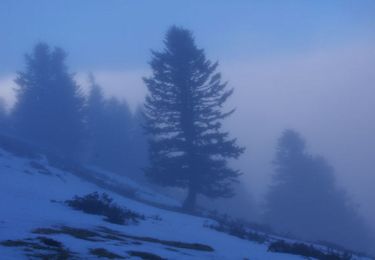
ski de fond sur terrain gelé
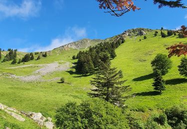
Walking
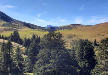
Walking
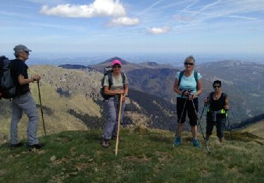
Walking
Walking
Walking
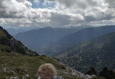
Walking

Walking
Walking

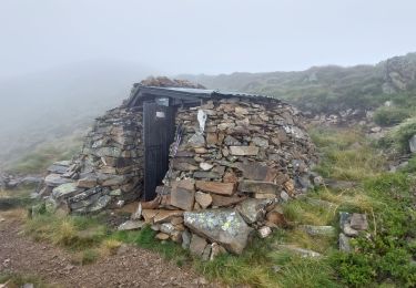
Snowshoes
trop ,de traces , gps perdu trop souvent