


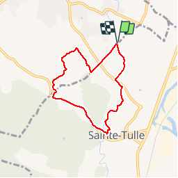


12.1 km | 16.3 km-effort


User


FREE GPS app for hiking
 SityTrail
IGN / Geographical institutes
SityTrail World
The world is yours!
Trail Walking of 6.4 km to be discovered at Provence-Alpes-Côte d'Azur, Alpes-de-Haute-Provence, Pierrevert. This trail is proposed by liocol.
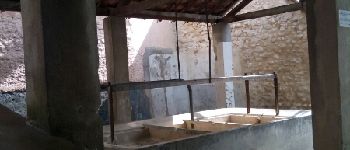
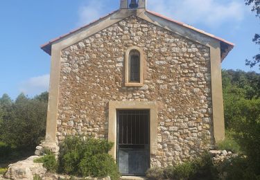
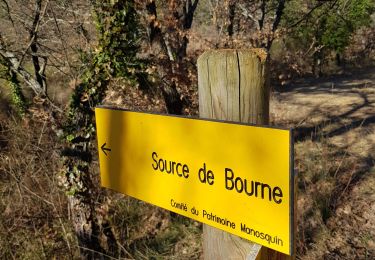
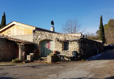
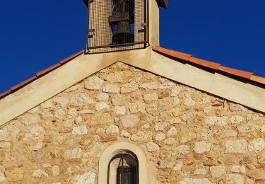
Randonnée à faire un lendemain de pluie. Nous passons par la Chapelle St Patrice et le Lavoir de Ste Tulle.


Walking

Walking
Walking

Walking
Walking
Walking

Walking
Walking
Walking