


Týnec nad Sázavou - Tábor

karawatsj
User
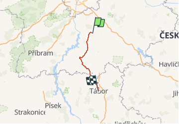

Length
71 km

Max alt
652 m

Uphill gradient
1225 m
Km-Effort
87 km

Min alt
259 m

Downhill gradient
1058 m
Boucle
No
Creation date :
2018-06-26 16:19:41.061
Updated on :
2018-06-26 16:19:41.061
5h09
Difficulty : Difficult

FREE GPS app for hiking
 SityTrail
IGN / Geographical institutes
SityTrail World
The world is yours!
About
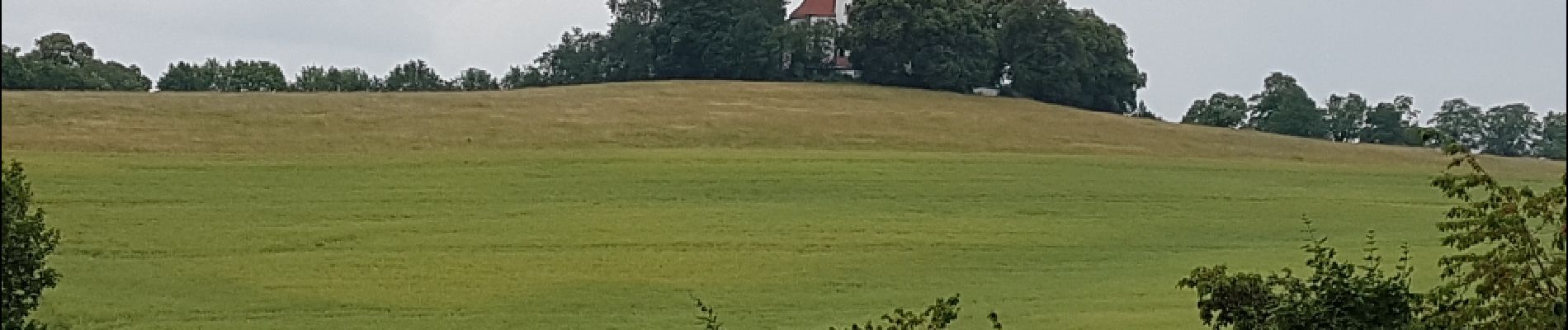
Trail Cycle of 71 km to be discovered at Central Bohemia, Unknown, Týnec nad Sázavou. This trail is proposed by karawatsj.
Photos


Positioning
Country:
Czech Republic
Region :
Central Bohemia
Department/Province :
Unknown
Municipality :
Týnec nad Sázavou
Location:
Unknown
Start:(Dec)
Start:(UTM)
470567 ; 5519819 (33U) N.
Comments
Trails nearby