Trail Cycle Litvínovice - Ceske Budejovice - Cesky Krumlov - Photo

Ceske Budejovice - Cesky Krumlov

© OpenStreetMap contributors
Length
Length
32 km
Max alt
Max alt
632 m
Uphill gradient
Uphill gradient
509 m
Km-Effort
Km-Effort  
38 km
Min alt
Min alt
383 m
Downhill gradient
Downhill gradient
407 m
Boucle
Boucle
No
Creation date :
2018-06-26 16:27:11.928
Updated on :
2018-06-26 16:27:11.928

(0 Reviews)

Cycle
Cycle
2h34
Difficulty : Difficult

Scan this QR Code to open this trail in the SityTrail application

FREE GPS app for hiking

Logo SityTrail SityTrail

IGN / Geographical institutes

Download SityTrail from the App Store Download SityTrail from Google Play

Logo SityTrail SityTrail World

The world is yours!

Download SityTrail from the App Store Download SityTrail from Google Play Download SityTrail on Huawei AppGallery

About

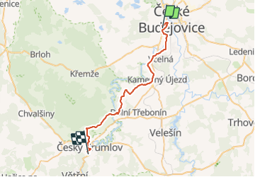
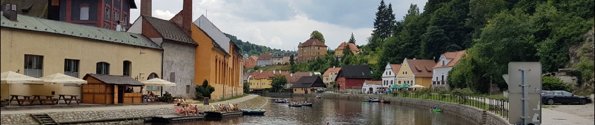
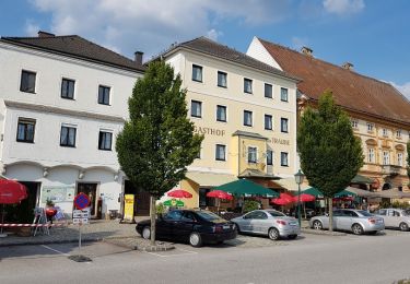
Trail Cycle of 32 km to be discovered at Southwest, Jihočeský kraj, Litvínovice. This trail is proposed by karawatsj.

Elevation profile

Photos

Positioning

Country:
Czech Republic
Region :
Southwest
Department/Province :
Jihočeský kraj
Municipality :
Litvínovice
Location:
Unknown
Start:(UTM)
460236 ; 5423593 (33U) N.

Trails nearby

Trail Cycle Český Krumlov - Cesky Krumlov (CZ) - Mauthausen (A) - Photo
Cycle
karawatsj

Cycle

Very difficult
Český Krumlov, Southwest, Jihočeský kraj, Czech Republic
96 km | 116 km-effort
6h 0min
No


Close
My subscriptions