


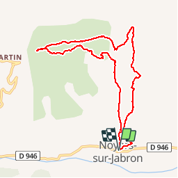


16 km | 24 km-effort

User


FREE GPS app for hiking
 SityTrail
IGN / Geographical institutes
SityTrail World
The world is yours!
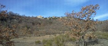
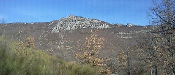
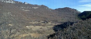
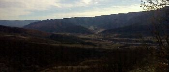
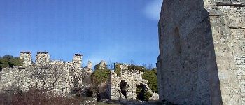
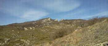
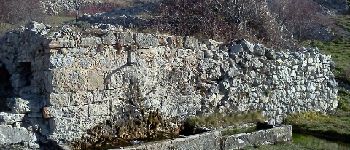
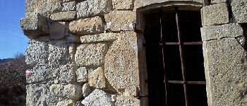
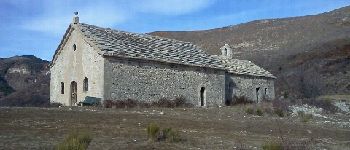
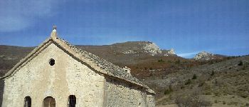
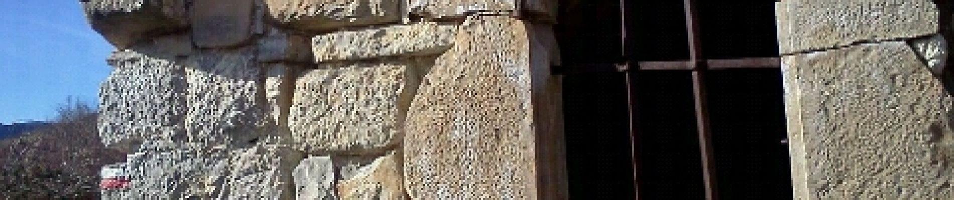
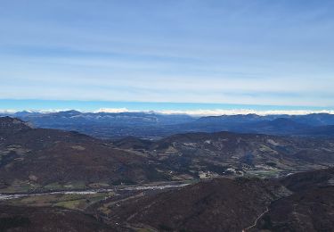
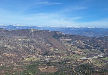
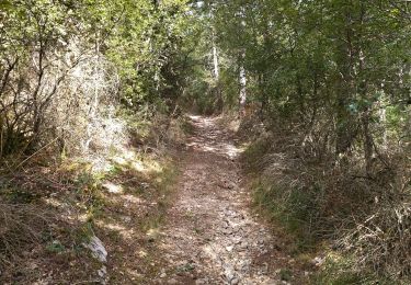
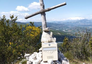
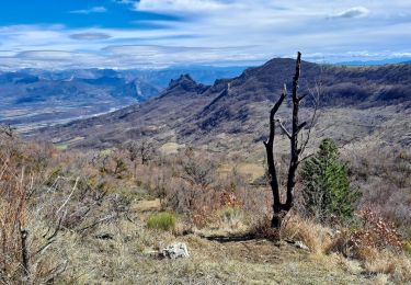
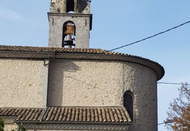
Trail Running of 9.8 km to be discovered at Provence-Alpes-Côte d'Azur, Alpes-de-Haute-Provence, Noyers-sur-Jabron. This trail is proposed by phd04.


On foot

Walking
Walking

Walking
Walking
Walking

Walking
Walking
Walking