


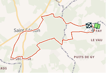


32 km | 37 km-effort

User


FREE GPS app for hiking
 SityTrail
IGN / Geographical institutes
SityTrail World
The world is yours!
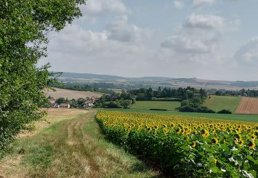
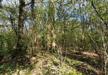
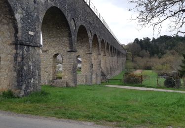
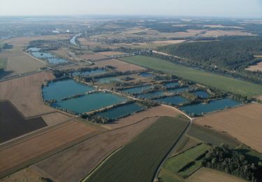
Trail Walking of 10.8 km to be discovered at Bourgogne-Franche-Comté, Yonne, Nailly. This trail is proposed by Yannick89.
Autour de Saint Serotin


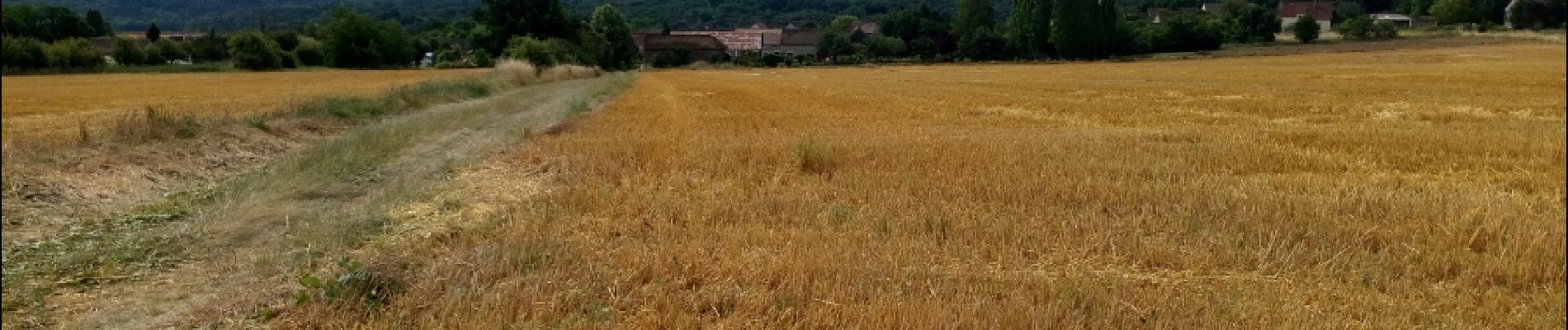
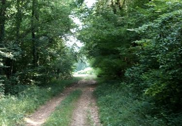
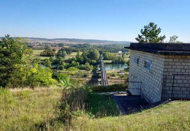
22 photos in total. Please click on a photo to see them all in the gallery.

Moto cross
Walking
Walking
Walking

Walking
Walking
Walking
Mountain bike

Walking