


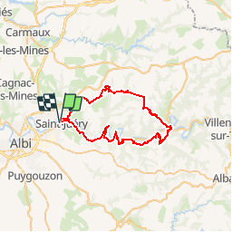

86 km | 102 km-effort


Utilisateur


Application GPS de randonnée GRATUITE
 SityTrail
IGN / Instituts géographiques
SityTrail World
Le monde est à vous
Randonnée V.T.T. de 49 km à découvrir à Occitanie, Tarn, Saint-Juéry. Cette randonnée est proposée par tracegps.
Sur le départ de la trace (passage au dessus du premier tunnel avant Marsal), des sentiers ont été fermés, ce qui m'a amené à faire des passages inattendus, des traversées de champs agricoles, de la grimpette au milieu des bois, ........ La suite est ICI

Vélo
Moto-cross
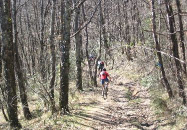
V.T.T.

Marche
Marche
Marche
Marche