


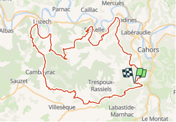

62 km | 81 km-effort

Utilisateur


Application GPS de randonnée GRATUITE
 SityTrail
IGN / Instituts géographiques
SityTrail World
Le monde est à vous
Randonnée V.T.T. de 59 km à découvrir à Occitanie, Lot, Cahors. Cette randonnée est proposée par tracegps.
14 Mai 2006 Les raids de Cahors-La Rozière des années passées sont, de l'avis de tous, des références en la matière. Tant d'un point de vue ludique que d'un point de vue technique, mais ce qu'il en ressort avant tout c'est la coutumière difficulté physique de ce raid..... La suite est ICI


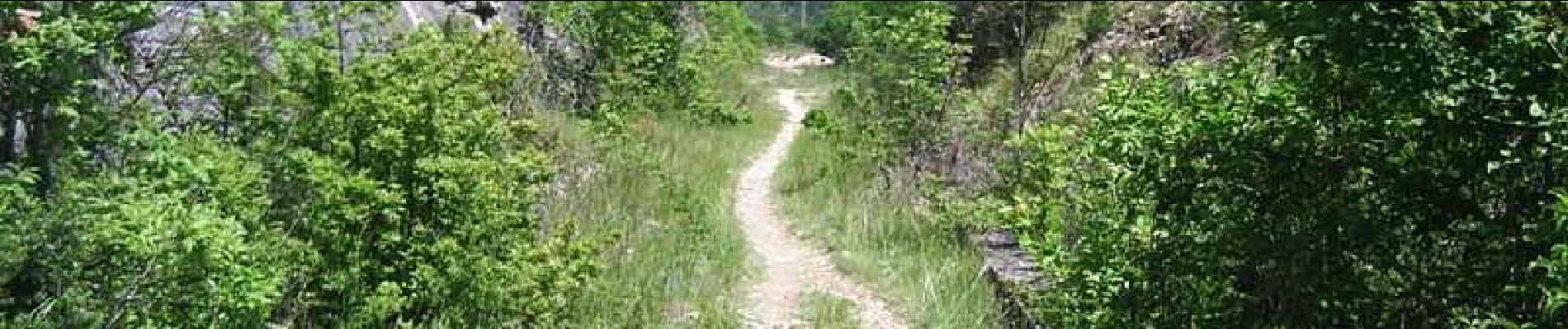
V.T.T.

Marche


Marche
Marche

Marche

V.T.T.

Marche
Course à pied