


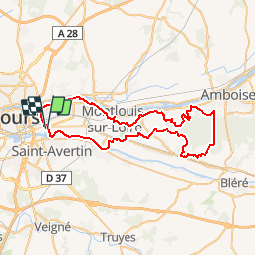

17,1 km | 21 km-effort


Utilisateur


Application GPS de randonnée GRATUITE
 SityTrail
IGN / Instituts géographiques
SityTrail World
Le monde est à vous
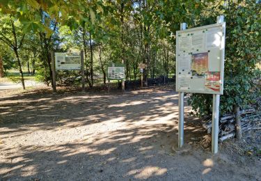
Randonnée V.T.T. de 60 km à découvrir à Centre-Val de Loire, Indre-et-Loire, Saint-Pierre-des-Corps. Cette randonnée est proposée par tracegps.
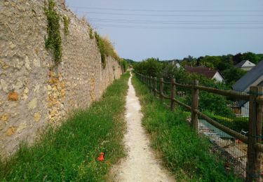
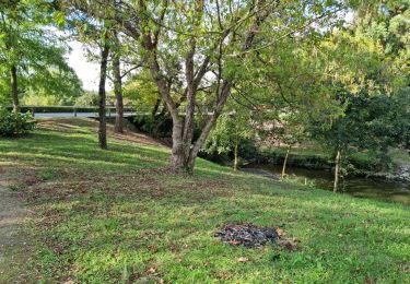
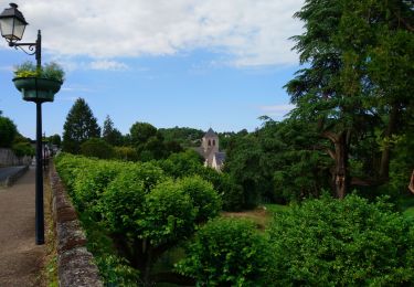
Magnifique promenade autour de la Loire, entre chateaux et caves en tuffeaux...

Marche
Marche
Marche
Marche
Marche
Marche
Marche
Marche
Marche