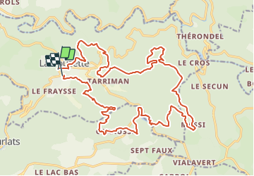

11,9 km | 15,5 km-effort

Utilisateur


Application GPS de randonnée GRATUITE
 SityTrail
IGN / Instituts géographiques
SityTrail World
Le monde est à vous
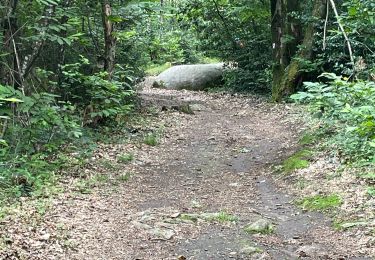
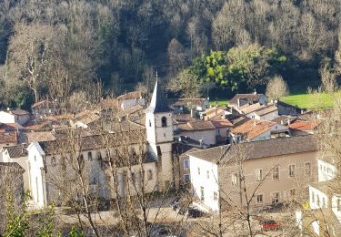
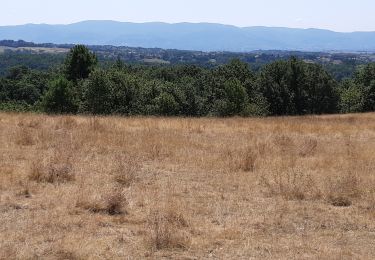
Randonnée V.T.T. de 28 km à découvrir à Occitanie, Tarn, Lacrouzette. Cette randonnée est proposée par tracegps.
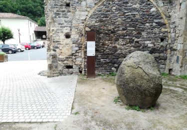
Une épreuve peu connue mais très appréciée.


Marche

Marche

A pied

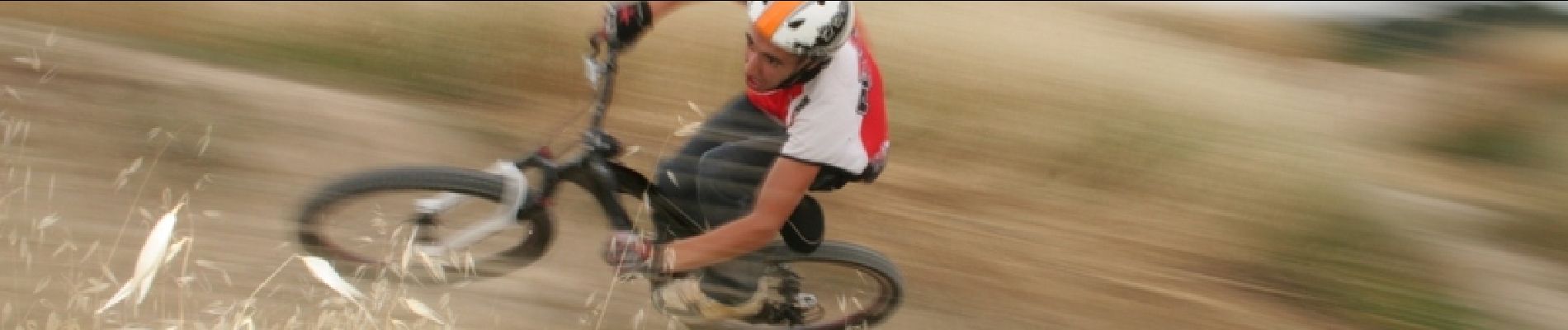
V.T.T.
V.T.T.
A pied
Marche
Marche