


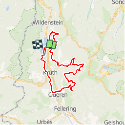

16,8 km | 27 km-effort

Utilisateur


Application GPS de randonnée GRATUITE
 SityTrail
IGN / Instituts géographiques
SityTrail World
Le monde est à vous
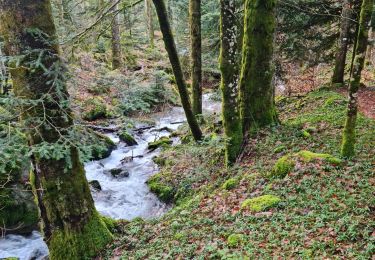
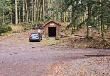
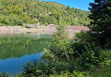
Randonnée V.T.T. de 27 km à découvrir à Grand Est, Haut-Rhin, Kruth. Cette randonnée est proposée par tracegps.
D'autres infos et une carte détaillée sont disponibles ICI

Marche

Marche
Marche

Marche

Marche
Marche
Marche
Marche
Marche