


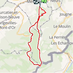


5,1 km | 6,3 km-effort


Utilisateur


Application GPS de randonnée GRATUITE
 SityTrail
IGN / Instituts géographiques
SityTrail World
Le monde est à vous
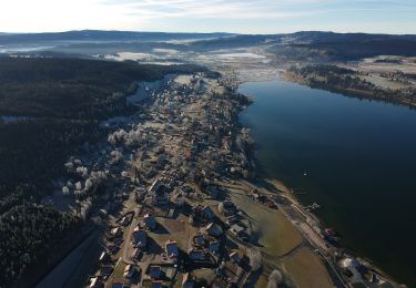
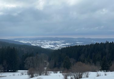
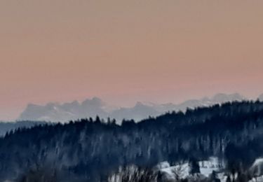
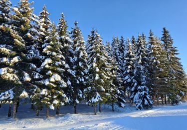
Randonnée Marche de 15 km à découvrir à Bourgogne-Franche-Comté, Doubs, Métabief. Cette randonnée est proposée par th.feur.
montée en télésiège jusqu'au Morond.
A pied

Marche
Marche
Marche
A pied
Raquettes à neige
Marche nordique
Ski de fond
Marche