


11,9 km | 15,5 km-effort


Utilisateur


Application GPS de randonnée GRATUITE
 SityTrail
IGN / Instituts géographiques
SityTrail World
Le monde est à vous
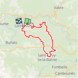
Randonnée V.T.T. de 30 km à découvrir à Occitanie, Tarn, Lacrouzette. Cette randonnée est proposée par tracegps.
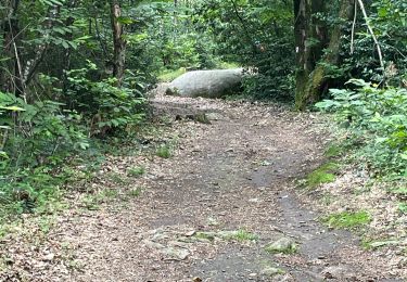
Ronde des Rochers édition 2008. Organisée par les VTT Club et Vélo Club Crouzétols, la traditionnelle ronde des rochers du 11 novembre a fêté ses dix ans d'existence. Elle s'élance du Foyer rural de Lacrouzette vers les sentiers et chemins forestiers du Sidobre. Deux boucles inédites d'une vingtaine et d'une trentaine de kilomètres, tracées et imaginées à travers les somptueux et éclatants paysages automnaux des bois de cet exceptionnel massif granitique du Parc régional du Haut Languedoc, ont été proposées aux nombreux vététistes.

Marche

Marche

A pied

V.T.T.
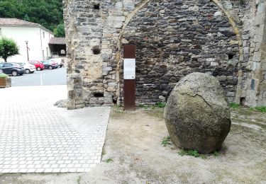
A pied
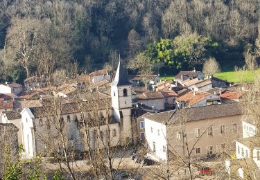
Marche
Marche
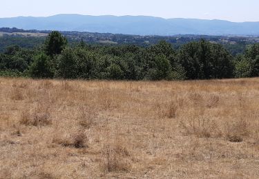
tres agréable et très beau