


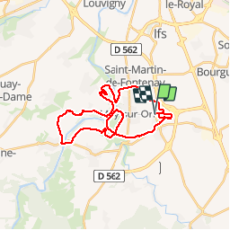

32 km | 37 km-effort


Utilisateur


Application GPS de randonnée GRATUITE
 SityTrail
IGN / Instituts géographiques
SityTrail World
Le monde est à vous
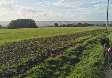
Randonnée V.T.T. de 28 km à découvrir à Normandie, Calvados, Saint-Martin-de-Fontenay. Cette randonnée est proposée par tracegps.
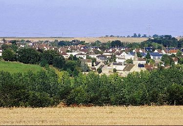
Boucle autour de May sur Orne

V.T.T.
V.T.T.

sport
V.T.T.
V.T.T.

sport
V.T.C.
sport