


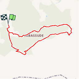

11,8 km | 15,5 km-effort

Utilisateur


Application GPS de randonnée GRATUITE
 SityTrail
IGN / Instituts géographiques
SityTrail World
Le monde est à vous
Randonnée Course à pied de 8,7 km à découvrir à Provence-Alpes-Côte d'Azur, Bouches-du-Rhône, Trets. Cette randonnée est proposée par tracegps.
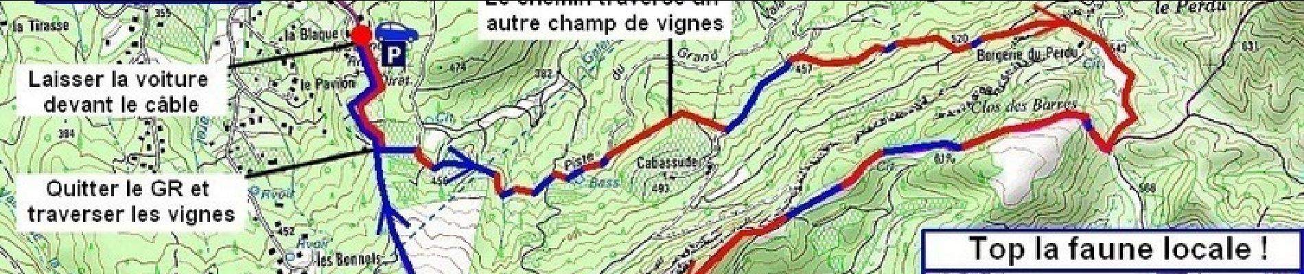
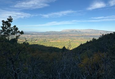
On aurait tendance à monter à l'Ermitage de Saint Jean du Puy par Saint- Zacharie, mais il vaut mieux y aller par Trets. Ca monte moins et ça permet un bon footing super sympa !


V.T.T.

Marche
Marche

Marche
Marche
Marche
Marche
Marche

Marche