


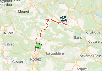

15,7 km | 24 km-effort


Utilisateur


Application GPS de randonnée GRATUITE
 SityTrail
IGN / Instituts géographiques
SityTrail World
Le monde est à vous
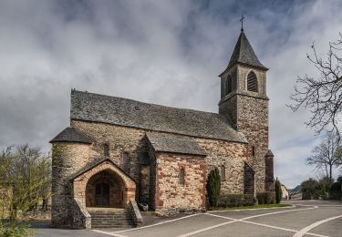
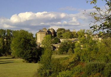
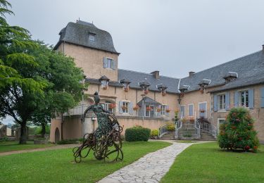
Randonnée V.T.T. de 32 km à découvrir à Occitanie, Aveyron, Onet-le-Château. Cette randonnée est proposée par tracegps.
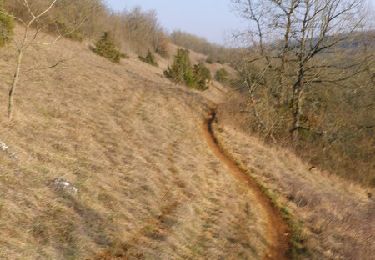
Circuit assez technique. Attention à la météo car il faut traverser le Dourdou. Circuit très glissant en période d'automne mais de jolis paysages. Bonne balade !!


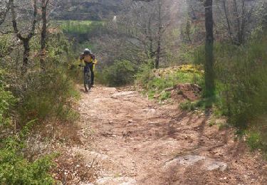
V.T.T.
V.T.T.
V.T.T.

A pied

A pied
A pied
A pied

A pied
A pied