Randonnée Marche Quillan - Sentier Cathare - de Quillan à Bugarach - Photo

Sentier Cathare - de Quillan à Bugarach

 tracegps
tracegps

Utilisateur

© OpenStreetMap contributors
Longueur
Longueur
19,8 km
Altitude max
Altitude max
840 m
Dénivelé positif
Dénivelé positif
652 m
Km-Effort
Km-Effort  
28 km
Altitude min
Altitude min
278 m
Dénivelé négatif
Dénivelé négatif
503 m
Boucle
Boucle
Non
Date de création :
2014-12-10 00:00:00.0
Dernière modification :
2014-12-10 00:00:00.0

(0 Avis)

Marche
Marche
6h30
Difficulté : Difficile

Scannez ce code QR pour ouvrir la randonnée dans l'application SityTrail

Application GPS de randonnée GRATUITE

Logo SityTrail SityTrail

IGN / Instituts géographiques

Télécharger SityTrail sur l'App Store Télécharger SityTrail sur Google Play

Logo SityTrail SityTrail World

Le monde est à vous

Télécharger SityTrail sur l'App Store Télécharger SityTrail sur Google Play Télécharger SityTrail sur Huawei AppGallery

À propos

Randonnée Marche de 19,8 km à découvrir à Occitanie, Aude, Quillan. Cette randonnée est proposée par tracegps.

Description

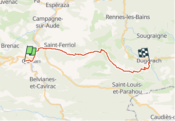
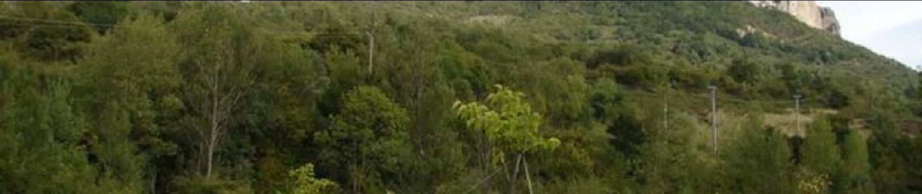
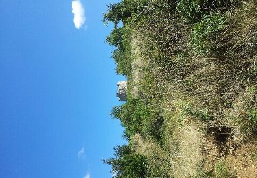
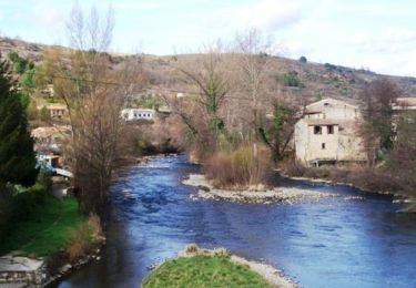
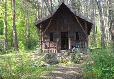
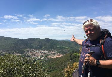
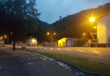
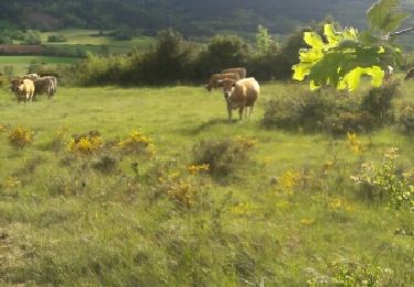
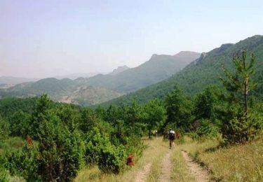
Étape 5- 20 km- 600m dénivelé. Nous partons de Quillan par la route sur une variante personnelle qui facilite l'étape pour la première partie. Étant du pays je fais parfois ce genre de variante qui sont aussi agréables. Remontée par un beau sentier sur le Bézu et puis nous repartirons par le sentier Cathare vers Bugarach en passant au pied du château du Bézu (ruines). Le sentier plonge ensuite vers le Village de Bugarach avec une belle vue sur le "Pech" Pic.

Profil altimétrique

Photos

Points d'intérêt

Point d'intérêt Comus - Camping01 - Photo
tracegps
COMUS 
Point d'intérêt Fougax-et-Barrineuf - Repas01 - Photo
tracegps
FOUGAX-ET-BARRINEUF 
Point d'intérêt Belcaire - Repas02 - Photo
tracegps
BELCAIRE 
Point d'intérêt Puivert - Repas03 - Photo
tracegps
PUIVERT 
Point d'intérêt Quillan - Repas04 - Photo
tracegps
QUILLAN 
Point d'intérêt Saint-Just-et-le-Bézu - Repas05 - Photo
tracegps
SAINT-JUST-ET-LE-BÉZU 
Point d'intérêt Camps-sur-l'Agly - Repas06 - Photo
tracegps
CAMPS-SUR-L'AGLY 
Point d'intérêt Bugarach - Repas06bis - Photo
tracegps
BUGARACH 
Point d'intérêt Duilhac-sous-Peyrepertuse - Repas07 - Photo
tracegps
DUILHAC-SOUS-PEYREPERTUSE 
Point d'intérêt Cucugnan - Repas08 - Photo
tracegps
CUCUGNAN 
Point d'intérêt Comus - Soir01 - Photo
tracegps
COMUS 
Point d'intérêt Espezel - Soir02 - Photo
tracegps
ESPEZEL 
Point d'intérêt Puivert - Soir03 - Photo
tracegps
PUIVERT 
Point d'intérêt Quillan - Soir04 - Photo
tracegps
QUILLAN 
Point d'intérêt Bugarach - Soir05 - Photo
tracegps
BUGARACH 
Point d'intérêt Cubières-sur-Cinoble - Soir06 - Photo
tracegps
CUBIÈRES-SUR-CINOBLE 
Point d'intérêt Duilhac-sous-Peyrepertuse - Soir07 - Photo
tracegps
DUILHAC-SOUS-PEYREPERTUSE 

Localisation

Pays :
France
Région :
Occitanie
Département/Province :
Aude
Commune :
Quillan
Localité :
Quillan
Départ:(Dec)
Départ:(UTM)
432622 ; 4747187 (31T) N.

Randonnées à proximité

Randonnée Marche Nébias - 2012-08-26 14h36m19 - Photo
Marche
marmitim

Marche

Facile
(2)
Nébias, Occitanie, Aude, France
5,8 km | 6,7 km-effort
2h 6min
Oui
Randonnée Vélo Quillan - CCS FFC Aude en Pyrénées - Circuit n°13 - Quillan - Photo
Vélo
tracegps

Vélo

Moyen
(1)
Quillan, Occitanie, Aude, France
41 km | 50 km-effort
2h 0min
Oui
Randonnée V.T.T. Quillan - Espace VTT FFC Aude en Pyrénées - Circuit n° 02 - Quillan / Belviane et Cavirac  - Photo
V.T.T.
tracegps

V.T.T.

Difficile
(1)
Quillan, Occitanie, Aude, France
14,9 km | 21 km-effort
1h 30min
Oui
Randonnée Marche Quillan - Quillan Bezu - Photo
Marche
Laurent_df

Marche

Moyen
(2)
Quillan, Occitanie, Aude, France
24 km | 34 km-effort
6h 11min
Oui
Randonnée Marche Quillan - Rando du château de Quillian - Photo
Marche
ezola

Marche

Moyen
Quillan, Occitanie, Aude, France
5,6 km | 9,5 km-effort
1h 56min
Oui
Randonnée Luge Quillan - Cathare 5.Quillan.Quirbajou - Photo
Luge
jeff2

Luge

Difficile
Quillan, Occitanie, Aude, France
18,3 km | 29 km-effort
5h 39min
Non
Randonnée Marche Nébias - Labyrinthe de Nébias 6km 74m - Photo
Marche
gergovie

Marche

Moyen
Nébias, Occitanie, Aude, France
5,2 km | 6,1 km-effort
1h 25min
Oui
Randonnée Marche Nébias - labyrinthe de nébias - Photo
Marche
floflo34

Marche

Moyen
(1)
Nébias, Occitanie, Aude, France
7,2 km | 9,5 km-effort
2h 3min
Oui
Randonnée V.T.T. Quillan - Tour des châteaux du Pays Cathare - Quillan - Carcasses - Photo
V.T.T.
tracegps

V.T.T.

Très difficile
Quillan, Occitanie, Aude, France
63 km | 95 km-effort
5h 0min
Non


Fermer
Mes abonnements