Randonnée Marche Aizier - Balade autour d'Aizier - Photo

Balade autour d'Aizier

 tracegps
tracegps

Utilisateur

© OpenStreetMap contributors
Longueur
Longueur
16,1 km
Altitude max
Altitude max
132 m
Dénivelé positif
Dénivelé positif
311 m
Km-Effort
Km-Effort  
20 km
Altitude min
Altitude min
5 m
Dénivelé négatif
Dénivelé négatif
312 m
Boucle
Boucle
Oui
Date de création :
2014-12-10 00:00:00.0
Dernière modification :
2014-12-10 00:00:00.0

(0 Avis)

Marche
Marche
3h15
Difficulté : Moyen

Scannez ce code QR pour ouvrir la randonnée dans l'application SityTrail

Application GPS de randonnée GRATUITE

Logo SityTrail SityTrail

IGN / Instituts géographiques

Télécharger SityTrail sur l'App Store Télécharger SityTrail sur Google Play

Logo SityTrail SityTrail World

Le monde est à vous

Télécharger SityTrail sur l'App Store Télécharger SityTrail sur Google Play Télécharger SityTrail sur Huawei AppGallery

À propos

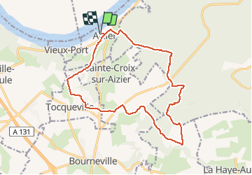
Randonnée Marche de 16,1 km à découvrir à Normandie, Eure, Aizier. Cette randonnée est proposée par tracegps.

Description

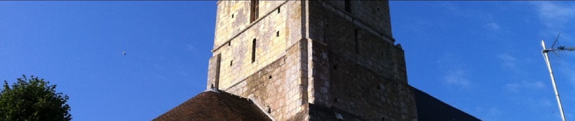
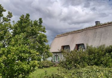
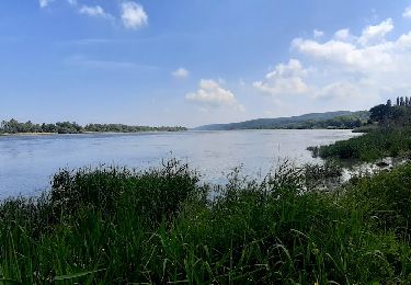
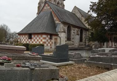
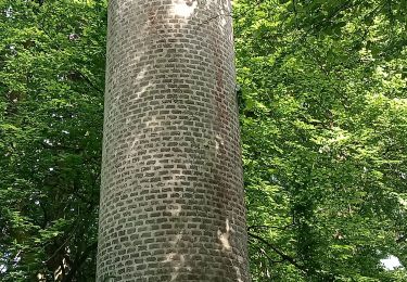
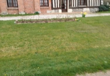
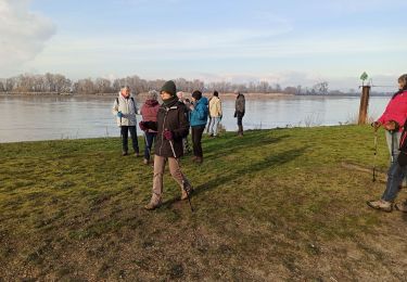
En partant du charmant village d'Aizier, cette balade nous conduit en forêt domaniale de Brotonne en suivant le GR23. Elle nous propose quelques voyages dans le temps dans la campagne normande, en suivant l'ancienne voie romaine jusqu'aux ruines de la léproserie Saint-Thomas. Toutes les photos sur baladesennormandie.fr.

Profil altimétrique

Photos

Localisation

Pays :
France
Région :
Normandie
Département/Province :
Eure
Commune :
Aizier
Localité :
Unknown
Départ:(Dec)
Départ:(UTM)
327794 ; 5478081 (31U) N.

Randonnées à proximité

Randonnée Marche Trouville-la-Haule - Randonnée à Trouville la Haule - Photo
Marche
tracegps

Marche

Moyen
(1)
Trouville-la-Haule, Normandie, Eure, France
14,6 km | 18,6 km-effort
3h 19min
Oui
Randonnée Marche Aizier - Aizier vers Vieux Port (100) - Photo
Marche
randovivi

Marche

Facile
(2)
Aizier, Normandie, Eure, France
12,2 km | 14,9 km-effort
3h 15min
Oui
Randonnée Marche Aizier - Chemin des sources bleues - Photo
Marche
Fky78

Marche

Moyen
Aizier, Normandie, Eure, France
7,3 km | 9,6 km-effort
2h 11min
Oui
Randonnée Marche Aizier - Vieux-Port, de la forêt aux rives de la Seine - Photo
Marche
jeannine grandjean

Marche

Moyen
Aizier, Normandie, Eure, France
4,8 km | 6,5 km-effort
1h 37min
Oui
Randonnée Marche La Haye-Aubrée - La Haye Aubrée - Le chemin aux Anes- Version 03-04 - Photo
Marche
MichelRando7656

Marche

Difficile
La Haye-Aubrée, Normandie, Eure, France
12,7 km | 14,8 km-effort
3h 19min
Oui
Randonnée Marche Trouville-la-Haule - Trouville la Haule . Chemin du Courval - Photo
Marche
MichelRando7656

Marche

Difficile
Trouville-la-Haule, Normandie, Eure, France
11,8 km | 14,5 km-effort
3h 3min
Oui
Randonnée Marche Bourneville-Sainte-Croix - Bourneville-sainte-Croix- Le petit Brotonne  - Photo
Marche
MichelRando7656

Marche

Difficile
Bourneville-Sainte-Croix, Normandie, Eure, France
14,1 km | 16,2 km-effort
3h 23min
Oui
Randonnée Marche Aizier - brotonne 2 - Photo
Marche
darnanville

Marche

Très facile
(3)
Aizier, Normandie, Eure, France
14,3 km | 18,8 km-effort
4h 2min
Oui
Randonnée Marche Bourneville-Sainte-Croix - les sources bleues - Photo
Marche
serisier

Marche

Très facile
(1)
Bourneville-Sainte-Croix, Normandie, Eure, France
6,3 km | 8,4 km-effort
1h 45min
Oui


Fermer
Mes abonnements