


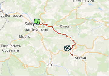

13,7 km | 21 km-effort

Utilisateur


Application GPS de randonnée GRATUITE
 SityTrail
IGN / Instituts géographiques
SityTrail World
Le monde est à vous
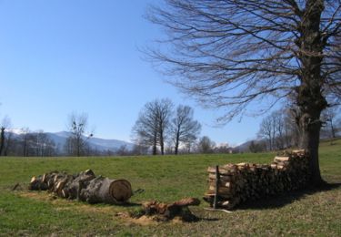
Randonnée Cheval de 33 km à découvrir à Occitanie, Ariège, Saint-Girons. Cette randonnée est proposée par tracegps.
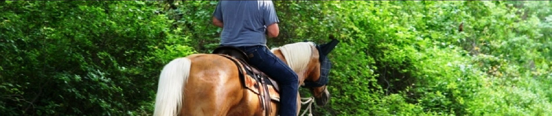
Première étape de la Boucle en Haut-Couserans. D’autres infos ICI. Balade proposée par le Bureau des Guides Équestres Transpyrénéens

Marche

Marche
Marche
Vélo
Vélo
Vélo
Vélo
Marche
V.T.T.