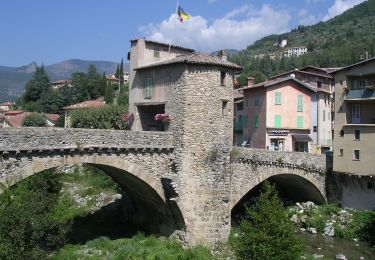
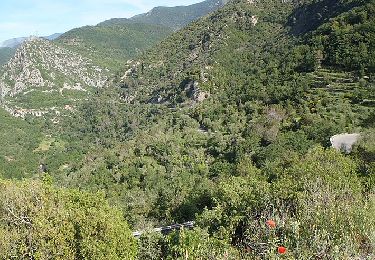
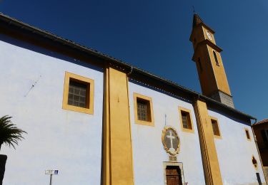
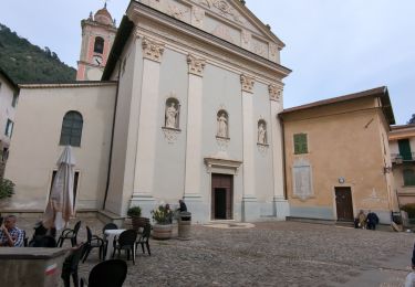
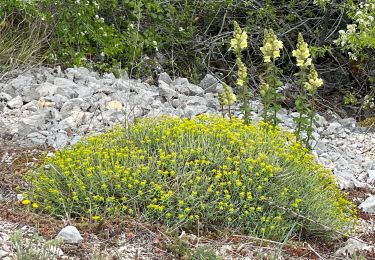
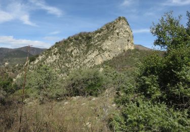
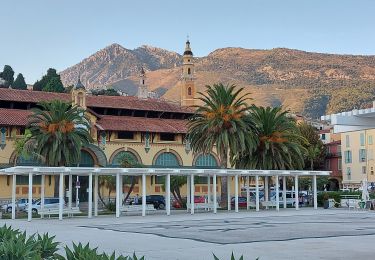
Randonnée Marche Sospel - Via Alpina - R160: Sospel > Peillon - Photo

Via Alpina - R160: Sospel > Peillon

 tracegps
tracegps

Utilisateur

© OpenStreetMap contributors
Longueur
Longueur
18,6 km
Altitude max
Altitude max
1094 m
Dénivelé positif
Dénivelé positif
1200 m
Km-Effort
Km-Effort  
35 km
Altitude min
Altitude min
356 m
Dénivelé négatif
Dénivelé négatif
1178 m
Boucle
Boucle
Non
Date de création :
2014-12-10 00:00:00.0
Dernière modification :
2014-12-10 00:00:00.0

(0 Avis)

Marche
Marche
5h45
Difficulté : Difficile

Scannez ce code QR pour ouvrir la randonnée dans l'application SityTrail

Application GPS de randonnée GRATUITE

Logo SityTrail SityTrail

IGN / Instituts géographiques

Télécharger SityTrail sur l'App Store Télécharger SityTrail sur Google Play

Logo SityTrail SityTrail World

Le monde est à vous

Télécharger SityTrail sur l'App Store Télécharger SityTrail sur Google Play Télécharger SityTrail sur Huawei AppGallery

À propos

Randonnée Marche de 18,6 km à découvrir à Provence-Alpes-Côte d'Azur, Alpes-Maritimes, Sospel. Cette randonnée est proposée par tracegps.

Description

Via Alpina - R160: Sospel > Peillon Cette longue étape de basse altitude quitte Sospel en direction du col du Farguet, puis redescend, à travers des paysages très méditerranéens, vers le village préservé de Peille, avant d’arriver au hameau de Peillon, point d’étape. Randonnée alpine (passage équipé ou très exposé, névé, blocs). Description complète de l’étape sur Via-Alpina.org.

Profil altimétrique

Photos

Localisation

Pays :
France
Région :
Provence-Alpes-Côte d'Azur
Département/Province :
Alpes-Maritimes
Commune :
Sospel
Localité :
Unknown
Départ:(Dec)
Départ:(UTM)
375253 ; 4859473 (32T) N.

Randonnées à proximité

Randonnée A pied Sospel - Circuit du Cuore - Photo
A pied
PRO

A pied

Moyen
Sospel, Provence-Alpes-Côte d'Azur, Alpes-Maritimes, France
13,7 km | 26 km-effort
5h 54min
Oui
Randonnée A pied Sospel - Tour du mont Grazian - Photo
A pied
PRO

A pied

Facile
Sospel, Provence-Alpes-Côte d'Azur, Alpes-Maritimes, France
12,1 km | 19,3 km-effort
4h 23min
Oui
Randonnée A pied Sospel - Boucle du mont Agaisen - Photo
A pied
PRO

A pied

Facile
Sospel, Provence-Alpes-Côte d'Azur, Alpes-Maritimes, France
8,7 km | 14,1 km-effort
3h 12min
Oui
Randonnée Marche Sospel - 06 - Moyen Pays - 46. Tour du Mont Grazian - Photo
Marche
kamell21

Marche

Moyen
(1)
Sospel, Provence-Alpes-Côte d'Azur, Alpes-Maritimes, France
11,9 km | 19 km-effort
Inconnu
Oui
Randonnée Marche Sospel - Sospel à Airole - Photo
Marche
patsure

Marche

Moyen
Sospel, Provence-Alpes-Côte d'Azur, Alpes-Maritimes, France
16,1 km | 23 km-effort
4h 58min
Non
Randonnée Marche Castillon - Castillon : Mt Ours - Photo
Marche
ETMU5496

Marche

Moyen
Castillon, Provence-Alpes-Côte d'Azur, Alpes-Maritimes, France
16,7 km | 29 km-effort
4h 22min
Oui
Randonnée Marche Castillon - Du col de Castillon pour la crête du Mt Razet - Photo
Marche
GrouGary

Marche

Moyen
Castillon, Provence-Alpes-Côte d'Azur, Alpes-Maritimes, France
8,1 km | 15,7 km-effort
3h 13min
Oui
Randonnée Marche Sospel - Cime de Penas - Photo
Marche
aris

Marche

Moyen
Sospel, Provence-Alpes-Côte d'Azur, Alpes-Maritimes, France
11 km | 21 km-effort
6h 38min
Oui
Randonnée Marche Sospel - Sospel Menton dernière étape 2020 - Photo
Marche
mimilolo

Marche

Difficile
Sospel, Provence-Alpes-Côte d'Azur, Alpes-Maritimes, France
18,6 km | 35 km-effort
3h 1min
Non


Fermer
Mes abonnements