


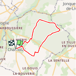

9,4 km | 11,3 km-effort

Utilisateur


Application GPS de randonnée GRATUITE
 SityTrail
IGN / Instituts géographiques
SityTrail World
Le monde est à vous
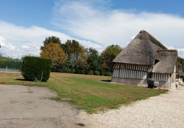
Randonnée Marche de 11,2 km à découvrir à Normandie, Eure, Chamblac. Cette randonnée est proposée par tracegps.
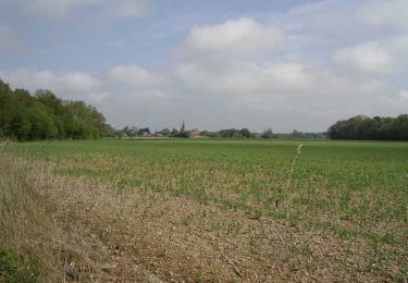
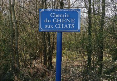
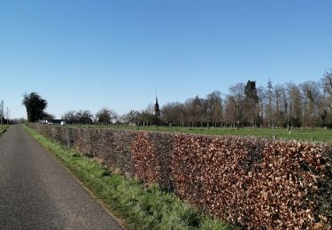
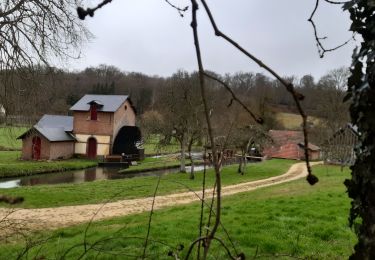
Circuit proposé par la Communauté de Communes du canton de Broglie. Départ de la mairie de Chamblac. A découvrir : l’église Notre-Dame 16e siécle, château de Bonneville, forêt de Broglie, la Pierre l’Ormée, le chemin Perrey (ancienne voie romaine). Ce circuit a été numérisé par les randonneurs du CODEPEM. Merci à Jean-Marie.


Marche
Vélo
Marche

V.T.T.
Marche
Marche
Marche