


5,3 km | 7,1 km-effort


Utilisateur


Application GPS de randonnée GRATUITE
 SityTrail
IGN / Instituts géographiques
SityTrail World
Le monde est à vous
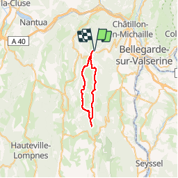
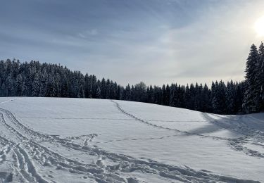
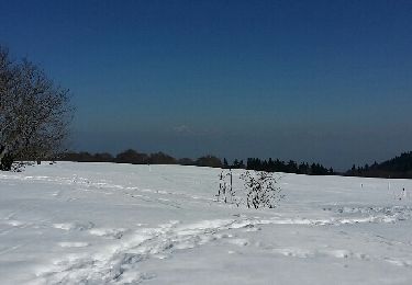
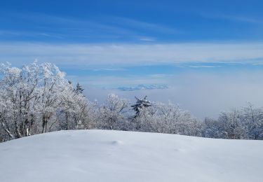
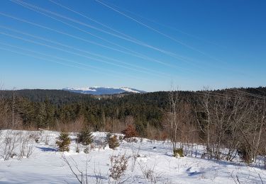
Randonnée Sports d'hiver de 29 km à découvrir à Auvergne-Rhône-Alpes, Ain, Valserhône. Cette randonnée est proposée par GuyCharvier.
Longue 3o km
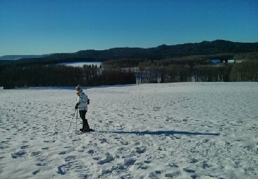
Raquettes à neige
Raquettes à neige
Raquettes à neige
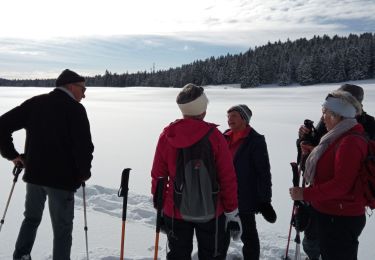
Marche

Marche
Raquettes à neige
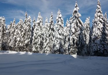
Raquettes à neige
Marche
Raquettes à neige