


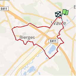


23 km | 28 km-effort


Utilisateur


Application GPS de randonnée GRATUITE
 SityTrail
IGN / Instituts géographiques
SityTrail World
Le monde est à vous
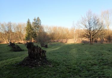
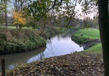
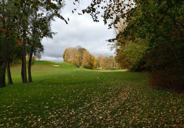
Randonnée Marche de 7,3 km à découvrir à Wallonie, Brabant wallon, Wavre. Cette randonnée est proposée par cla_mayet.
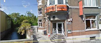
RDV L'Incontro http://www.lincontro.be/accueil.asp
Boucle rurale de Wavre possibilité déjeuner après la marche.


Marche

Marche
Marche

Marche
Marche
Marche
Marche
Marche
Marche