


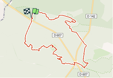


7,5 km | 8,2 km-effort


Utilisateur


Application GPS de randonnée GRATUITE
 SityTrail
IGN / Instituts géographiques
SityTrail World
Le monde est à vous
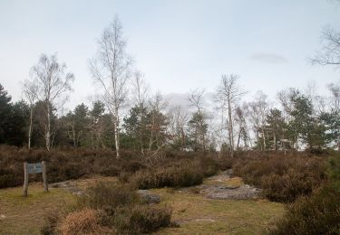
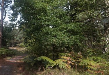
Randonnée Marche de 12,6 km à découvrir à Île-de-France, Seine-et-Marne, Fontainebleau. Cette randonnée est proposée par TaxiMarne.
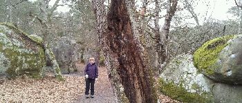
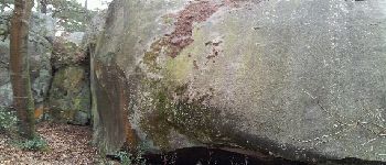
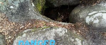
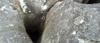
Départ du Carrefour de l'épine traversée du rocher cuvier chatillon par le GR1, passage sur les hauteurs de la Solle, traversée de la N7 au carrefour du Grand veneur, passage dans le désert d'Apremont et retour par la route de la solitude.


Marche

Marche

A pied
A pied
A pied
A pied

A pied

A pied
A pied