23 km | 27 km-effort
lfml-lflu
jb26
Utilisateur
Longueur
169 km
Altitude max
1080 m
Dénivelé positif
7835 m
Km-Effort
273 km
Altitude min
-1 m
Dénivelé négatif
7684 m
Boucle
Non
Date de création :
2014-12-10 00:00:00.0
Dernière modification :
2014-12-10 00:00:00.0
--
Difficulté : Inconnu
Application GPS de randonnée GRATUITE
À propos
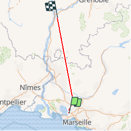
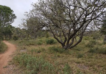
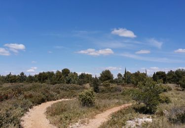
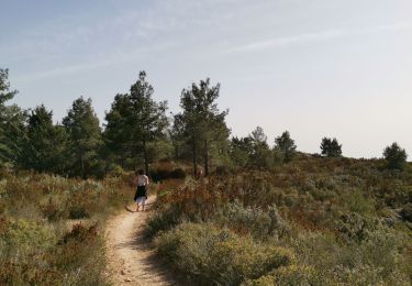
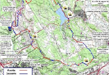
Randonnée Autre activité de 169 km à découvrir à Provence-Alpes-Côte d'Azur, Bouches-du-Rhône, Marignane. Cette randonnée est proposée par jb26.
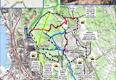
Localisation
Pays :
France
Région :
Provence-Alpes-Côte d'Azur
Département/Province :
Bouches-du-Rhône
Commune :
Marignane
Localité :
Unknown
Départ:(Dec)
Départ:(UTM)
679267 ; 4811694 (31T) N.
Commentaires
Randonnées à proximité
Vitrolles - les Collets Rouges
V.T.T.
Moyen
(1)
Vitrolles,
Provence-Alpes-Côte d'Azur,
Bouches-du-Rhône,
France
3h 0min
Oui
l'étang de Bolmon et sa faune
Marche
Très facile
Marignane,
Provence-Alpes-Côte d'Azur,
Bouches-du-Rhône,
France
12 km | 12,7 km-effort
4h 9min
Oui
autour du Radar
Marche
Moyen
Vitrolles,
Provence-Alpes-Côte d'Azur,
Bouches-du-Rhône,
France
7,9 km | 9,7 km-effort
1h 59min
Oui
Plateau de Vitrolles-Tour du Pouchon
Marche
Moyen
Vitrolles,
Provence-Alpes-Côte d'Azur,
Bouches-du-Rhône,
France
8,2 km | 9,8 km-effort
1h 53min
Oui
plateau Vitrolles sud est
Marche
Difficile
Vitrolles,
Provence-Alpes-Côte d'Azur,
Bouches-du-Rhône,
France
12 km | 14,3 km-effort
2h 14min
Oui
les Crêtes de l'arbois
Marche
Difficile
Vitrolles,
Provence-Alpes-Côte d'Azur,
Bouches-du-Rhône,
France
12,5 km | 14,8 km-effort
2h 56min
Oui
GR2013 St Victoret - Martigue
Marche
Très facile
Marignane,
Provence-Alpes-Côte d'Azur,
Bouches-du-Rhône,
France
33 km | 38 km-effort
8h 0min
Non
radar aviation vitrolles
V.T.T.
Très facile
Vitrolles,
Provence-Alpes-Côte d'Azur,
Bouches-du-Rhône,
France
23 km | 27 km-effort
4h 30min
Oui
Bassin de Réaltor - Vitrolles
V.T.T.
Moyen
Vitrolles,
Provence-Alpes-Côte d'Azur,
Bouches-du-Rhône,
France
32 km | 39 km-effort
3h 30min
Oui