Randonnée Marche Grez-Doiceau - Grez et Doiceau - Photo
 cstegch
cstegch

Utilisateur

© OpenStreetMap contributors
Longueur
Longueur
10,3 km
Altitude max
Altitude max
127 m
Dénivelé positif
Dénivelé positif
211 m
Km-Effort
Km-Effort  
13,1 km
Altitude min
Altitude min
46 m
Dénivelé négatif
Dénivelé négatif
210 m
Boucle
Boucle
Oui
Date de création :
2014-12-10 00:00:00.0
Dernière modification :
2019-09-17 10:13:48.409

(0 Avis)

Marche
Marche
2h15
Difficulté : Facile

Scannez ce code QR pour ouvrir la randonnée dans l'application SityTrail

Application GPS de randonnée GRATUITE

Logo SityTrail SityTrail

IGN / Instituts géographiques

Télécharger SityTrail sur l'App Store Télécharger SityTrail sur Google Play

Logo SityTrail SityTrail World

Le monde est à vous

Télécharger SityTrail sur l'App Store Télécharger SityTrail sur Google Play Télécharger SityTrail sur Huawei AppGallery

À propos

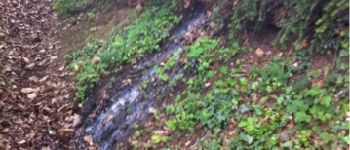
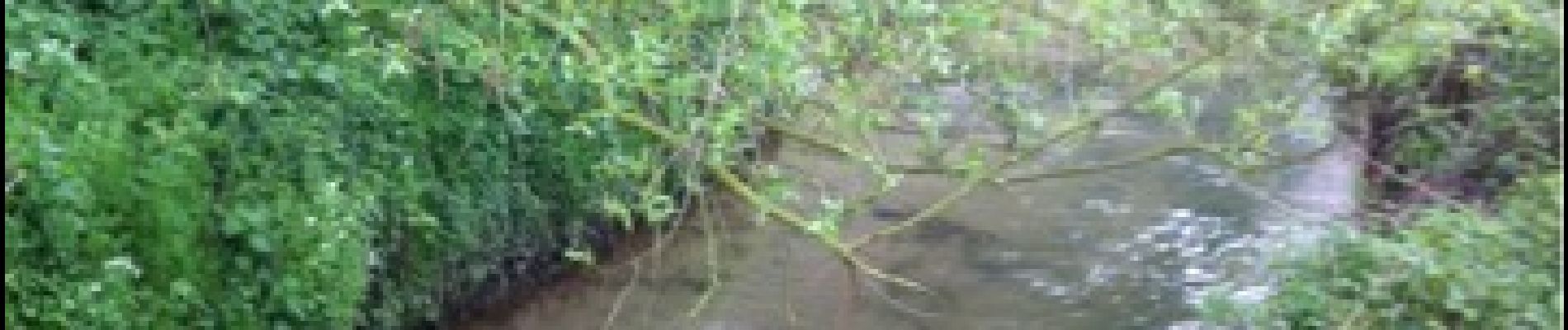
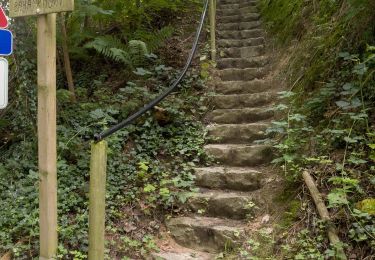
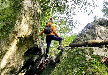
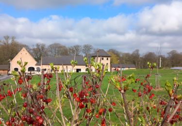
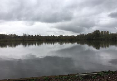
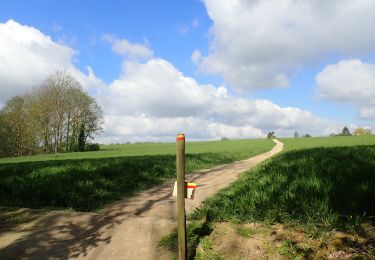
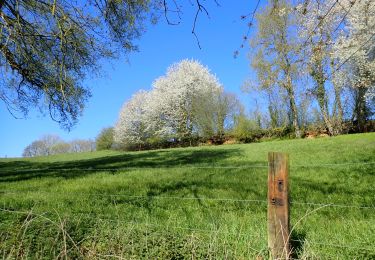
Randonnée Marche de 10,3 km à découvrir à Wallonie, Brabant wallon, Grez-Doiceau. Cette randonnée est proposée par cstegch.

Description

Ardennes Brabançonne

Profil altimétrique

Photos

Points d'intérêt

Point d'intérêt Grez-Doiceau - pollueur !!! - Photo
cstegch
GREZ-DOICEAU 

Localisation

Pays :
Belgique
Région :
Wallonie
Département/Province :
Brabant wallon
Commune :
Grez-Doiceau
Localité :
Grez-Doiceau
Départ:(Dec)
Départ:(UTM)
619790 ; 5620436 (31U) N.

Commentaires

Veuillez vous connecter pour laisser un commentaire ou une note


décathlon


Randonnées à proximité

Randonnée Marche Grez-Doiceau - RL-GG-01_Archennes_Wavre - Photo
Marche
PRO

Marche

Très difficile
(5)
Grez-Doiceau, Wallonie, Brabant wallon, Belgique
23 km | 28 km-effort
5h 59min
Non
Randonnée Marche Grez-Doiceau - RB-Bw-04 - Grez-Doiceau - Photo
Marche
PRO

Marche

Facile
(8)
Grez-Doiceau, Wallonie, Brabant wallon, Belgique
24 km | 29 km-effort
6h 10min
Oui
Randonnée Marche Grez-Doiceau - RB-Bw-04 - Grez-Doiceau - Via raccourci - Photo
Marche
PRO

Marche

Facile
(9)
Grez-Doiceau, Wallonie, Brabant wallon, Belgique
16,3 km | 19,2 km-effort
4h 10min
Oui
Randonnée Marche Chaumont-Gistoux - De Dion-le Mont à Dion-le Val par la vallée du Pisselet - Photo
Marche
GUIDE
Desrumaux

Marche

Très facile
(8)
Chaumont-Gistoux, Wallonie, Brabant wallon, Belgique
8,6 km | 10,3 km-effort
2h 0min
Oui
Randonnée Marche Incourt - La promenade des grosses pierres ( 4,9km ) - Photo
Marche
GUIDE+

Marche

Facile
(1)
Incourt, Wallonie, Brabant wallon, Belgique
4,9 km | 5,9 km-effort
1h 20min
Oui
Randonnée Marche Incourt - #240318 - Piétrebais, Sart-Biez, Petit et Grand Haquedau*** - Photo
Marche
Randos Ouvertes

Marche

Moyen
(1)
Incourt, Wallonie, Brabant wallon, Belgique
6,5 km | 7,6 km-effort
1h 43min
Oui
Randonnée Marche Grez-Doiceau - #221104 - Florival > Pécrot, GRP127 - Photo
Marche
Randos Ouvertes

Marche

Moyen
(2)
Grez-Doiceau, Wallonie, Brabant wallon, Belgique
7 km | 8,4 km-effort
1h 55min
Oui
Randonnée Marche Chaumont-Gistoux - #210507 - Dion-le-Mont, La Commone, Bois de Vieusart et le Bonly**** - Photo
Marche
Randos Ouvertes

Marche

Moyen
(1)
Chaumont-Gistoux, Wallonie, Brabant wallon, Belgique
6,5 km | 7,9 km-effort
2h 12min
Oui
Randonnée Marche Chaumont-Gistoux - #210427 - Longueville, Hèze et Petit Hacquedeau***** - Photo
Marche
Randos Ouvertes

Marche

Moyen
(1)
Chaumont-Gistoux, Wallonie, Brabant wallon, Belgique
8 km | 9,2 km-effort
2h 5min
Oui


Fermer
Mes abonnements