


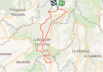

62 km | 81 km-effort

Utilisateur


Application GPS de randonnée GRATUITE
 SityTrail
IGN / Instituts géographiques
SityTrail World
Le monde est à vous
Randonnée Marche de 17,2 km à découvrir à Occitanie, Lot, Cahors. Cette randonnée est proposée par tracegps.
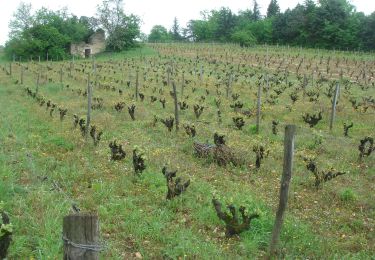
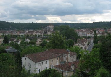
Départ de la salle des fêtes. Prendre la route au sud-ouest de la salle. Après une montée vous descendrez pour traverser la route de D653 (Cahors-Valence d'Agen). Vous traversez le village de Labastide-Marnhac, riche et varié, avec des pièces maîtresses héritées du XIIIe siècle telles que le château, les églises de Labastide et de St Rémy et encore celle de Salgues...


V.T.T.

Marche
Marche
Marche

Marche

V.T.T.

Marche
Course à pied