


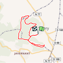


8,1 km | 10,5 km-effort

Utilisateur


Application GPS de randonnée GRATUITE
 SityTrail
IGN / Instituts géographiques
SityTrail World
Le monde est à vous
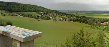
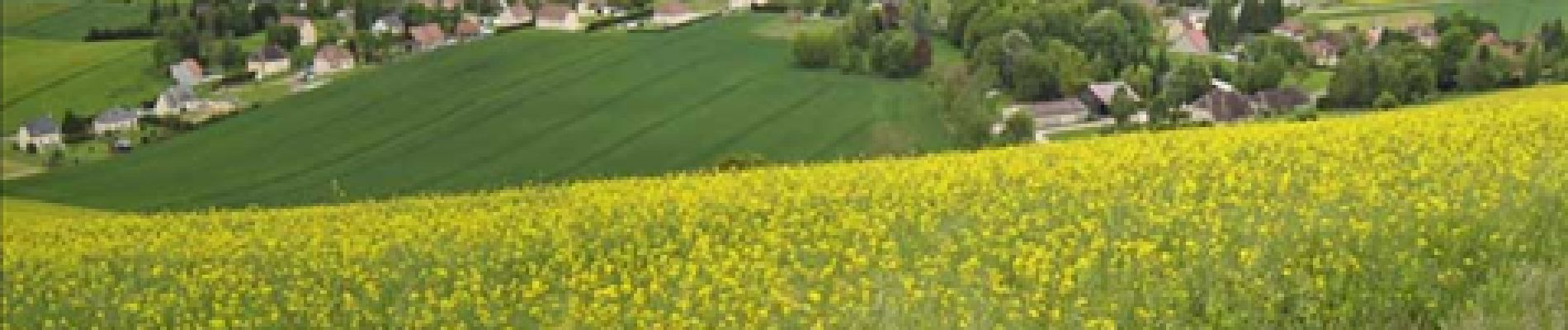
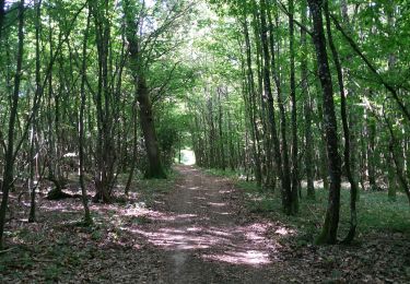
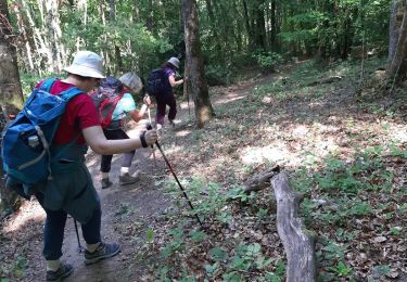
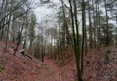
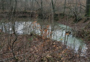
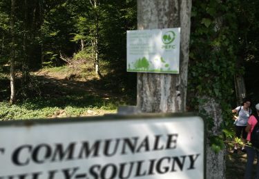
Randonnée Marche de 7,1 km à découvrir à Grand Est, Aube, Villery. Cette randonnée est proposée par gauthier.ef.


Marche
Marche
Marche
Marche

Marche
Marche
Marche