Randonnée Marche Tour-de-Faure - Tour de Faure à Pech Aguliou - Photo

Tour de Faure à Pech Aguliou

 tracegps
tracegps

Utilisateur

© OpenStreetMap contributors
Longueur
Longueur
5,7 km
Altitude max
Altitude max
366 m
Dénivelé positif
Dénivelé positif
227 m
Km-Effort
Km-Effort  
8,7 km
Altitude min
Altitude min
138 m
Dénivelé négatif
Dénivelé négatif
227 m
Boucle
Boucle
Oui
Date de création :
2014-12-10 00:00:00.0
Dernière modification :
2014-12-10 00:00:00.0

(2 Avis)

Marche
Marche
1h30
Difficulté : Facile

Scannez ce code QR pour ouvrir la randonnée dans l'application SityTrail

Application GPS de randonnée GRATUITE

Logo SityTrail SityTrail

IGN / Instituts géographiques

Télécharger SityTrail sur l'App Store Télécharger SityTrail sur Google Play

Logo SityTrail SityTrail World

Le monde est à vous

Télécharger SityTrail sur l'App Store Télécharger SityTrail sur Google Play Télécharger SityTrail sur Huawei AppGallery

À propos

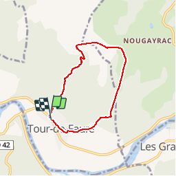
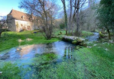
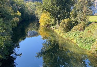
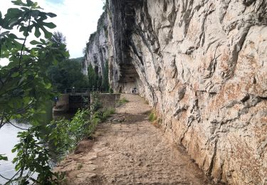
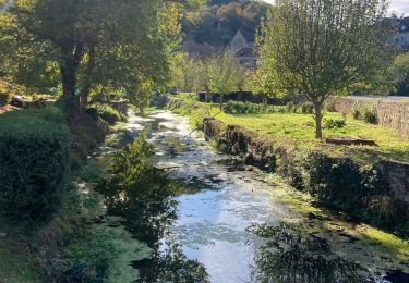
Randonnée Marche de 5,7 km à découvrir à Occitanie, Lot, Tour-de-Faure. Cette randonnée est proposée par tracegps.

Description

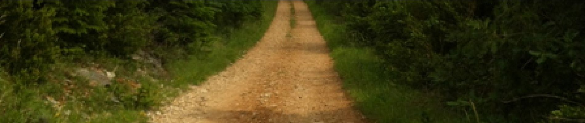
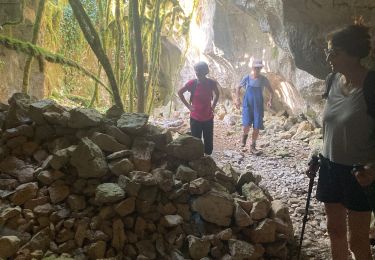
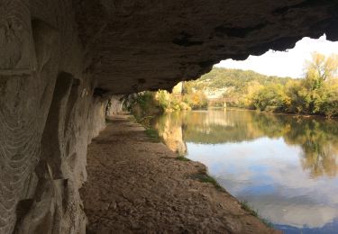
Départ de la mairie de Tour-de-Faure, prendre la route de gauche face à la mairie une montée dans le bois de Carrat.

Profil altimétrique

Photos

Localisation

Pays :
France
Région :
Occitanie
Département/Province :
Lot
Commune :
Tour-de-Faure
Localité :
Unknown
Départ:(Dec)
Départ:(UTM)
395791 ; 4924769 (31T) N.

Commentaires

Veuillez vous connecter pour laisser un commentaire ou une note


Randonnées à proximité

Randonnée Marche Saint-Cirq-Lapopie - Circuit sud de St Cirq Lapopie - Photo
Marche
tracegps

Marche

Difficile
(4)
Saint-Cirq-Lapopie, Occitanie, Lot, France
17,7 km | 24 km-effort
3h 30min
Oui
Randonnée Marche Cénevières - Cénevières Calvignac - Causse Lotois - Photo
Marche
tracegps

Marche

Difficile
(2)
Cénevières, Occitanie, Lot, France
19,4 km | 28 km-effort
5h 15min
Oui
Randonnée Marche Bouziès - St Cirq Lapopie - Photo
Marche
neleda

Marche

Très facile
(1)
Bouziès, Occitanie, Lot, France
8,3 km | 12,4 km-effort
2h 33min
Non
Randonnée Marche Cabrerets - Cabrerets Liauzu  - Photo
Marche
GUIDE
antignacs

Marche

Facile
Cabrerets, Occitanie, Lot, France
12,3 km | 17,5 km-effort
3h 3min
Oui
Randonnée Marche Bouziès - Bouzies St Cirq Conduche  - Photo
Marche
GUIDE
antignacs

Marche

Très facile
Bouziès, Occitanie, Lot, France
15,3 km | 21 km-effort
4h 11min
Oui
Randonnée Marche Saint-Cirq-Lapopie - Saint Cirq à Cabrerets - Photo
Marche
dominiq

Marche

Moyen
Saint-Cirq-Lapopie, Occitanie, Lot, France
11,7 km | 17,7 km-effort
3h 40min
Non
Randonnée Marche Cénevières - Cenevieres rocher de cornus trou madame  - Photo
Marche
GUIDE
antignacs

Marche

Très facile
Cénevières, Occitanie, Lot, France
12,3 km | 16,7 km-effort
3h 48min
Oui
Randonnée Marche Cabrerets - Cabreret  - Photo
Marche
GUIDE
antignacs

Marche

Très facile
Cabrerets, Occitanie, Lot, France
6,6 km | 9,1 km-effort
2h 28min
Oui
Randonnée V.T.C. Bouziès - Bouzies sauliac cenevieres  - Photo
V.T.C.
GUIDE
antignacs

V.T.C.

Très facile
Bouziès, Occitanie, Lot, France
38 km | 51 km-effort
2h 47min
Non


Fermer
Mes abonnements