


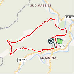

16,5 km | 24 km-effort

Utilisateur


Application GPS de randonnée GRATUITE
 SityTrail
IGN / Instituts géographiques
SityTrail World
Le monde est à vous
Randonnée Marche de 8,8 km à découvrir à Occitanie, Gard, Thoiras. Cette randonnée est proposée par rocheteau7.
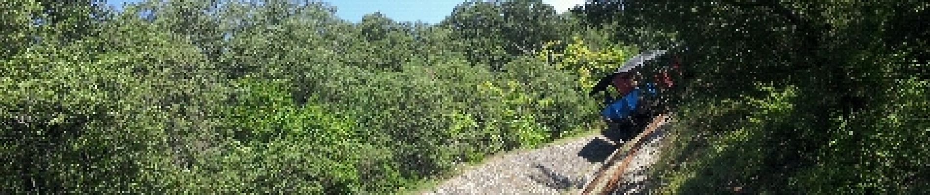
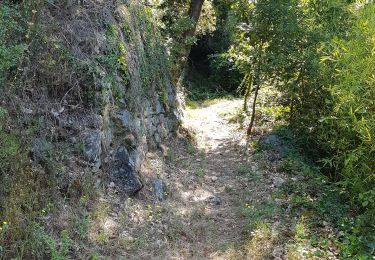
sentier ombrage


Marche
Marche
Marche

Marche
Marche
Marche

Dommage pour la partie longeant la voie ferrée. Dangereux avec un chien lorsque le train passe !!! Pas moyen de l'éviter.
Un chemin permet d'éviter la voie ferrée