


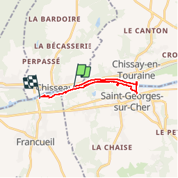

6,7 km | 7,3 km-effort


Utilisateur


Application GPS de randonnée GRATUITE
 SityTrail
IGN / Instituts géographiques
SityTrail World
Le monde est à vous
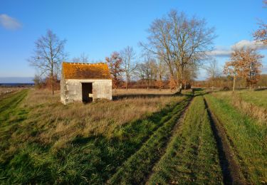
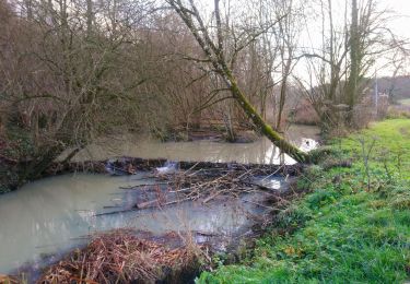
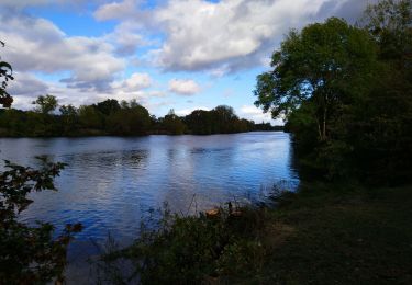
Randonnée Marche de 12,6 km à découvrir à Centre-Val de Loire, Indre-et-Loire, Chisseaux. Cette randonnée est proposée par Arnoldr8491.
Belle balade facile à pied ou vélo, commence en fait la ou elle se termine...


Marche

Marche
Marche
Marche

Marche
Marche
Marche
Marche
Marche