


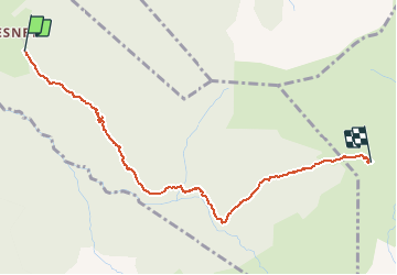


11,8 km | 24 km-effort


Utilisateur


Application GPS de randonnée GRATUITE
 SityTrail
IGN / Instituts géographiques
SityTrail World
Le monde est à vous
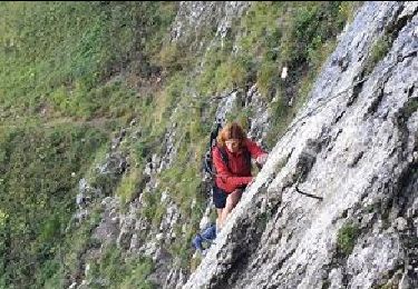
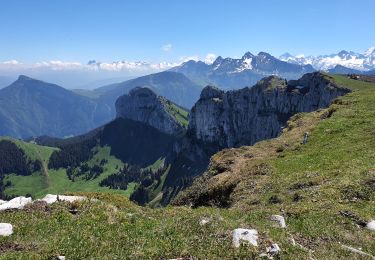
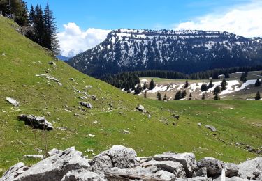
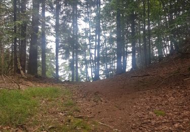
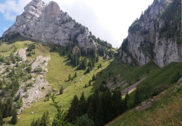
Randonnée Marche de 3,4 km à découvrir à Auvergne-Rhône-Alpes, Haute-Savoie, La Roche-sur-Foron. Cette randonnée est proposée par alexdigit.
Marche

Marche
Marche
Marche
Marche
Marche
Marche
Marche
Marche