


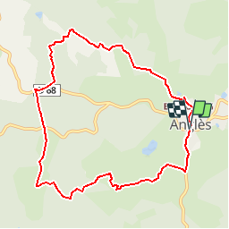

22 km | 29 km-effort


Utilisateur


Application GPS de randonnée GRATUITE
 SityTrail
IGN / Instituts géographiques
SityTrail World
Le monde est à vous
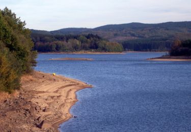
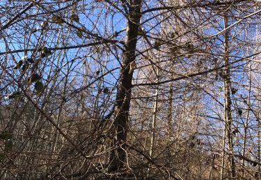
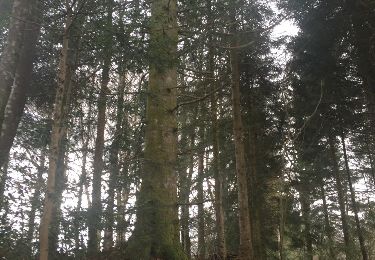
Randonnée Marche de 9,9 km à découvrir à Occitanie, Tarn, Anglès. Cette randonnée est proposée par CANON2.

Marche

Course à pied
Marche
Marche
Marche
sympa