


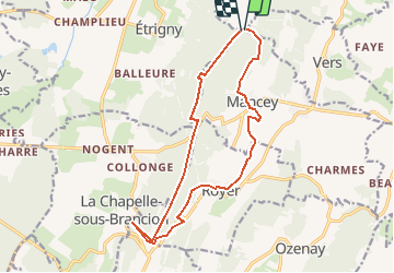


12,2 km | 16,5 km-effort


Utilisateur


Application GPS de randonnée GRATUITE
 SityTrail
IGN / Instituts géographiques
SityTrail World
Le monde est à vous
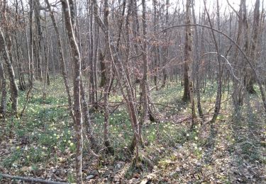
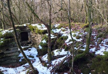
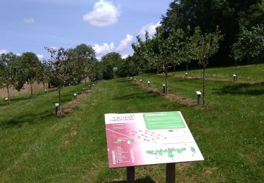
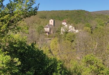
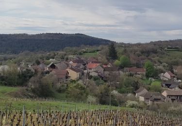
Randonnée Marche de 15,5 km à découvrir à Bourgogne-Franche-Comté, Saône-et-Loire, Nanton. Cette randonnée est proposée par guyverot.
Col du Navois, Brancion par Royer et retour par le GR 76
Marche
Marche
Marche
Marche
Marche
Marche
Marche
Marche

Marche