


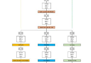
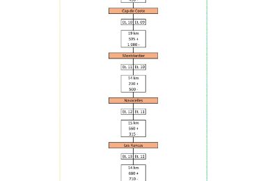
27 km | 34 km-effort


Utilisateur


Application GPS de randonnée GRATUITE
 SityTrail
IGN / Instituts géographiques
SityTrail World
Le monde est à vous
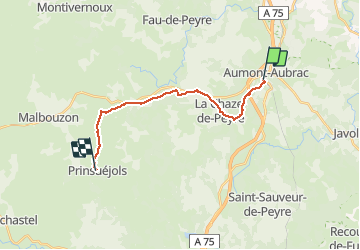
Randonnée Marche de 15,7 km à découvrir à Occitanie, Lozère, Peyre en Aubrac. Cette randonnée est proposée par tracegps.
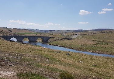
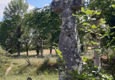
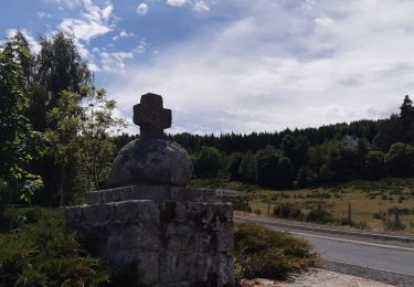
Départ centre ville. Chemin commun avec les pèlerins de Compostelle, prairies intéressantes.


Marche

Marche
Marche
Marche
Voiture
Marche

Marche
Marche

A pied