


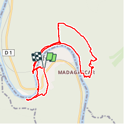

11,3 km | 15,2 km-effort


Utilisateur GUIDE


Application GPS de randonnée GRATUITE
 SityTrail
IGN / Instituts géographiques
SityTrail World
Le monde est à vous
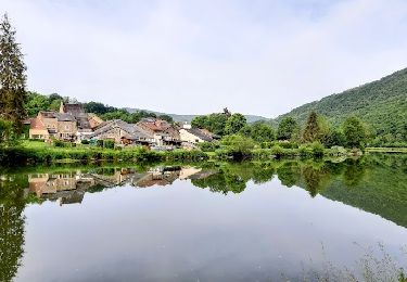
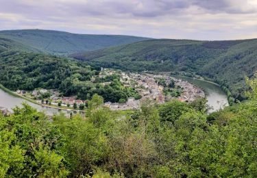
Randonnée Marche de 11,5 km à découvrir à Grand Est, Ardennes, Laifour. Cette randonnée est proposée par rvapeldo.
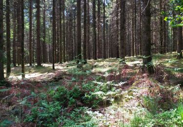
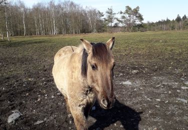
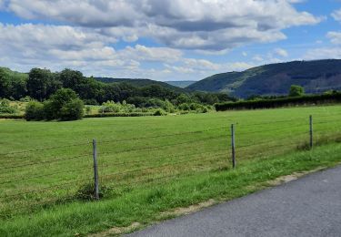
Une randonnée un peu sportive, surprenante.

Marche

Marche

Marche
Marche
Marche

Marche
Marche
Marche