


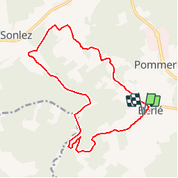

8,3 km | 10,2 km-effort


Utilisateur


Application GPS de randonnée GRATUITE
 SityTrail
IGN / Instituts géographiques
SityTrail World
Le monde est à vous
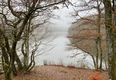
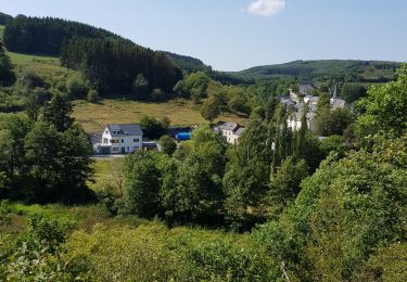
Randonnée Marche de 8,3 km à découvrir à Inconnu, Canton Wiltz, Winseler. Cette randonnée est proposée par gue.
Circuit auto pédestre
Marche
Marche

Marche
Marche
A pied
Marche
Marche
Marche
Marche
89.407