


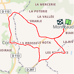

11,1 km | 13,8 km-effort


Utilisateur


Application GPS de randonnée GRATUITE
 SityTrail
IGN / Instituts géographiques
SityTrail World
Le monde est à vous
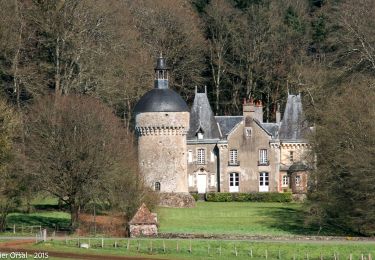
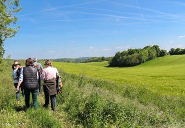
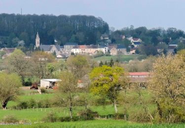
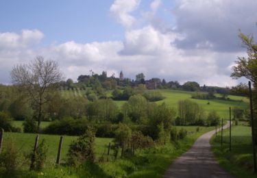
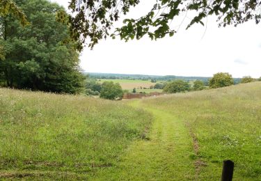
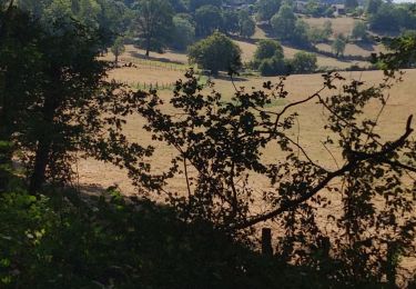
Randonnée Marche de 9,3 km à découvrir à Normandie, Orne, Montgaudry. Cette randonnée est proposée par ODDAD78.
Départ : Eglise de Montgaudry
Marche
Marche
Marche
Marche
Marche
Marche
Marche
Marche
Marche