


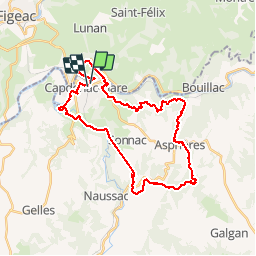

17,6 km | 24 km-effort


Utilisateur


Application GPS de randonnée GRATUITE
 SityTrail
IGN / Instituts géographiques
SityTrail World
Le monde est à vous
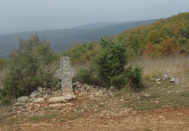
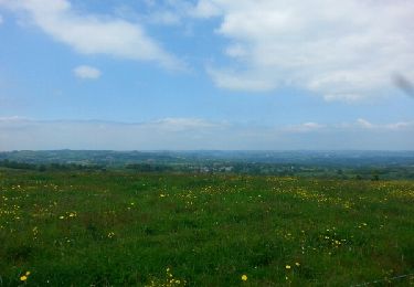
Randonnée V.T.T. de 34 km à découvrir à Occitanie, Aveyron, Capdenac-Gare. Cette randonnée est proposée par xamax12.
Capdenac


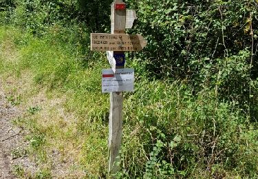
Marche
Marche
Marche

Vélo


sport
Marche
sport
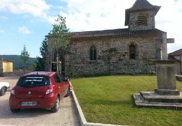
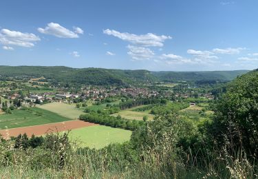
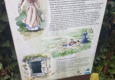
Boucle Villeneuve St Rémy Les Cavaliers Pauty - Belle ballade difficulté moyenne.