


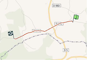

9,3 km | 12,5 km-effort


Utilisateur


Application GPS de randonnée GRATUITE
 SityTrail
IGN / Instituts géographiques
SityTrail World
Le monde est à vous
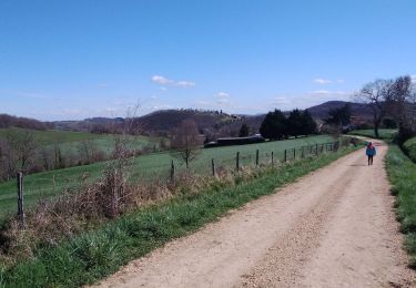
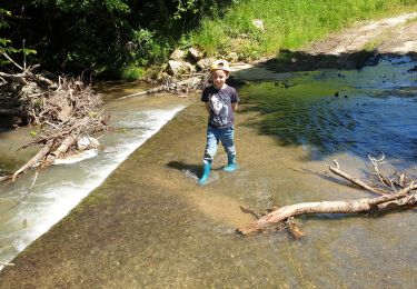
Randonnée Marche de 1,8 km à découvrir à Occitanie, Haute-Garonne, Saint-Lary-Boujean. Cette randonnée est proposée par megakip.
Marche
Marche

Marche
Marche
Marche
Marche
Marche

Randonnée équestre
Randonnée équestre