


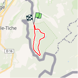

3,9 km | 5,4 km-effort


Randonnées de Visit Luxembourg. GUIDE+


Application GPS de randonnée GRATUITE
 SityTrail
IGN / Instituts géographiques
SityTrail World
Le monde est à vous
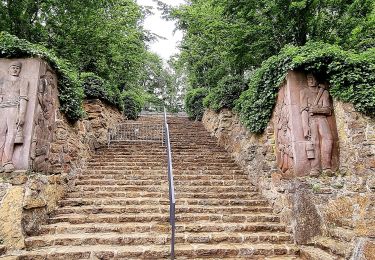
Randonnée Marche de 3,2 km à découvrir à Inconnu, Canton Esch-sur-Alzette, Esch-sur-Alzette. Cette randonnée est proposée par Visit Luxembourg.
Ellergronn
A pied
A pied
A pied
A pied

V.T.T.
A pied

A pied
A pied
A pied