Randonnée Marche Cassagnas - E10 Cassagnas - Lebou GR70 - Photo

E10 Cassagnas - Lebou GR70

 Kargil
Kargil

Utilisateur GUIDE

© OpenStreetMap contributors
Longueur
Longueur
22 km
Altitude max
Altitude max
1032 m
Dénivelé positif
Dénivelé positif
521 m
Km-Effort
Km-Effort  
31 km
Altitude min
Altitude min
262 m
Dénivelé négatif
Dénivelé négatif
946 m
Boucle
Boucle
Non
Date de création :
2018-09-17 06:11:37.483
Dernière modification :
2018-09-22 14:16:26.146

(1 Avis)

Marche
Marche
5h23
Difficulté : Moyen

Scannez ce code QR pour ouvrir la randonnée dans l'application SityTrail

Application GPS de randonnée GRATUITE

Logo SityTrail SityTrail

IGN / Instituts géographiques

Télécharger SityTrail sur l'App Store Télécharger SityTrail sur Google Play

Logo SityTrail SityTrail World

Le monde est à vous

Télécharger SityTrail sur l'App Store Télécharger SityTrail sur Google Play Télécharger SityTrail sur Huawei AppGallery

À propos

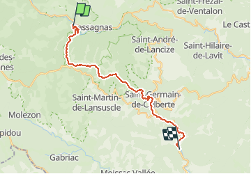
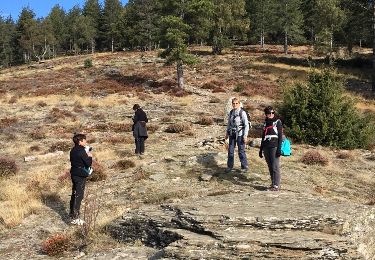
Randonnée Marche de 22 km à découvrir à Occitanie, Lozère, Cassagnas. Cette randonnée est proposée par Kargil.

Description

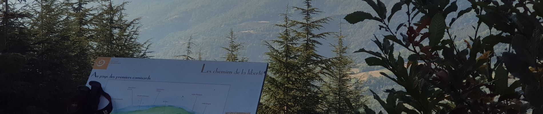
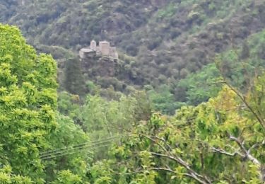
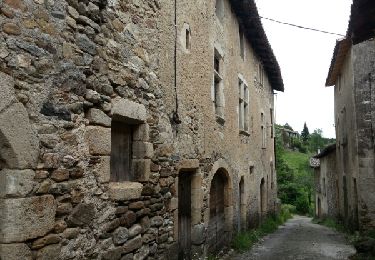
Ne pas rater le Mas Stevenson à Lébou ; fabuleux

Profil altimétrique

Photos

Localisation

Pays :
France
Région :
Occitanie
Département/Province :
Lozère
Commune :
Cassagnas
Localité :
Unknown
Départ:(UTM)
558303 ; 4902321 (31T) N.

Commentaires

Veuillez vous connecter pour laisser un commentaire ou une note


Randonnées à proximité

Randonnée Marche Cassagnas - Etape 9 Cassagnas/St Étienne Vallée Française  - Photo
Marche
Nathalie. Mercier

Marche

Difficile
Cassagnas, Occitanie, Lozère, France
26 km | 35 km-effort
6h 13min
Non
Randonnée A pied Saint-Germain-de-Calberte - La Flandonenque - Photo
A pied
PRO

A pied

Facile
Saint-Germain-de-Calberte, Occitanie, Lozère, France
9,2 km | 13,1 km-effort
2h 57min
Oui
Randonnée Marche Saint-Martin-de-Lansuscle - GR_70_AK_11_St-Martin-Lansuscle_St-Etienne-Vallee_20140925 - Photo
Marche
patrickdanilo

Marche

Facile
Saint-Martin-de-Lansuscle, Occitanie, Lozère, France
19 km | 25 km-effort
5h 11min
Non
Randonnée Marche Cassagnas - Le Plan de Fontmort par Magistravols - Cassagnas - Photo
Marche
tracegps

Marche

Difficile
Cassagnas, Occitanie, Lozère, France
19,4 km | 28 km-effort
5h 0min
Oui
Randonnée Marche Cassagnas - Cassagnas - Saint germain  - Photo
Marche
ploizon

Marche

Moyen
Cassagnas, Occitanie, Lozère, France
18,7 km | 26 km-effort
4h 45min
Non
Randonnée Marche Cassagnas - etape 5 - Photo
Marche
gb88270

Marche

Facile
Cassagnas, Occitanie, Lozère, France
19,8 km | 35 km-effort
5h 39min
Non
Randonnée Marche Saint-Martin-de-Lansuscle - Le Cauvel  Lébou Stevenson - Photo
Marche
kephas

Marche

Moyen
Saint-Martin-de-Lansuscle, Occitanie, Lozère, France
20 km | 28 km-effort
5h 40min
Non
Randonnée Marche Saint-Martin-de-Lansuscle - mas de Cauvel St jean du Gard - Photo
Marche
manginpascale

Marche

Très facile
Saint-Martin-de-Lansuscle, Occitanie, Lozère, France
35 km | 49 km-effort
8h 57min
Non
Randonnée Marche Cassagnas - Chemin de Stevenson - Cassagnas vers St Germain de Calberte - Photo
Marche
tracegps

Marche

Difficile
(1)
Cassagnas, Occitanie, Lozère, France
14,9 km | 21 km-effort
3h 49min
Non


Fermer
Mes abonnements