


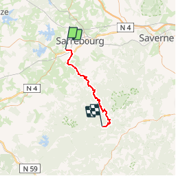

59 km | 69 km-effort


Utilisateur


Application GPS de randonnée GRATUITE
 SityTrail
IGN / Instituts géographiques
SityTrail World
Le monde est à vous
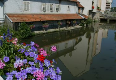
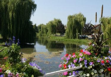
Randonnée V.T.T. de 41 km à découvrir à Grand Est, Moselle, Bébing. Cette randonnée est proposée par bbazin.
Vélo

Marche
V.T.T.
V.T.T.
V.T.T.
V.T.T.

Moto

V.T.T.
Cyclotourisme