


7,7 km | 11,3 km-effort


Utilisateur


Application GPS de randonnée GRATUITE
 SityTrail
IGN / Instituts géographiques
SityTrail World
Le monde est à vous
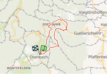
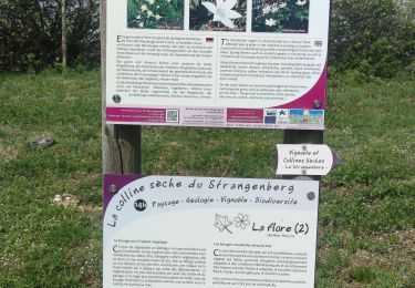
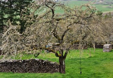
Randonnée A pied de 10,6 km à découvrir à Grand Est, Haut-Rhin, Osenbach. Cette randonnée est proposée par E.BURCK.
ACCÈS :
par Soultzmatt aller à Osenbach. Après le carrefour au centre d'Osenbach, prendre la direction col du Firstplan, Munster. Le parking est à environ 50 m à votre gauche.
PARKING :
au centre du village d’Osenbach, rue Albert Schweitzer.
47.987139 , 7.220599 ou
N 47°59'14" E 07°13'14"
RESTAURATION : Auberge Au Bon Chasseur à Osenbuhr
Tel.: 03 89 49 33 97
Marche
Marche
Marche

Marche
Marche

V.T.T.
Marche
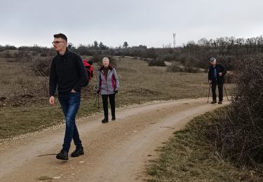
Marche
Marche