


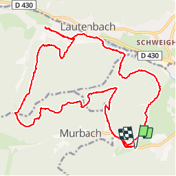

22 km | 35 km-effort

Utilisateur


Application GPS de randonnée GRATUITE
 SityTrail
IGN / Instituts géographiques
SityTrail World
Le monde est à vous
Randonnée Marche de 13,1 km à découvrir à Grand Est, Haut-Rhin, Buhl. Cette randonnée est proposée par Richard68500.
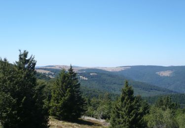
Lautenbach Zell et son hameau Sengern forment un village de moyenne-montagne blotti dans la vallée du Florival, au pied du massif du Grand Ballon, le plus haut sommet des Vosges (alt. 1424 m). Situé au cœur du Parc naturel régional des Ballons des Vosges et à proximité de la route des crêtes, Lautenbach Zell est le point de départ idéal pour profiter des sports et loisirs de montagne.
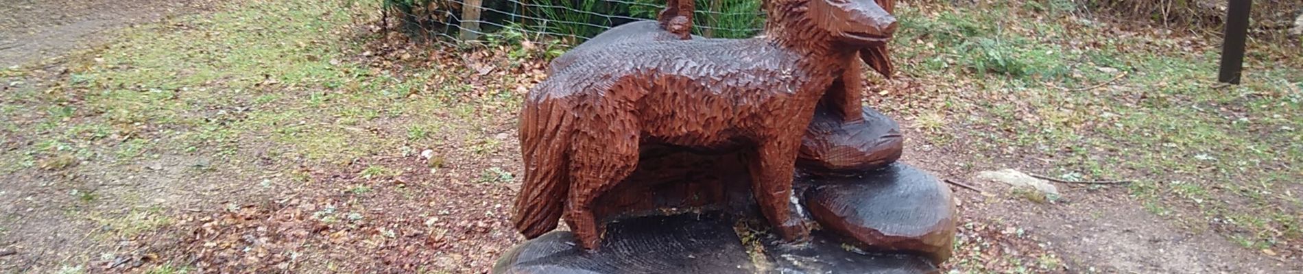
 - Photo 1")

Marche

A pied

Marche

Marche

Marche

Marche

Marche
Marche